The Canals
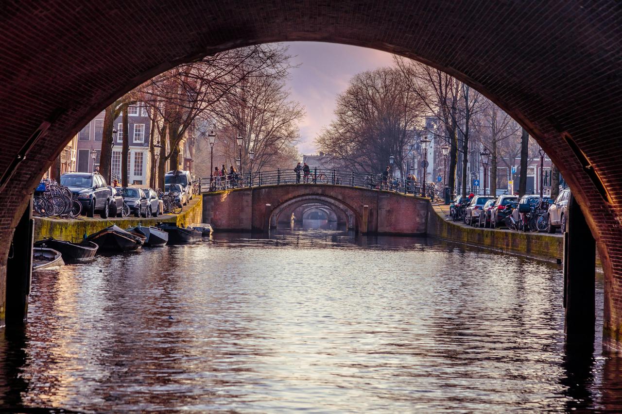
Standing here in Amsterdam, you're surrounded by one of the most ambitious city planning projects in history. The canal ring consists of 165 canals, running along four main arteries: the Singel, the Herengracht, the Keizersgracht, and the Prinsengracht. These branch off from the Brouwersgracht and wind their way southeast toward the Amstel River. Building this system took over 40 years in the 17th century, and the result was staggering.
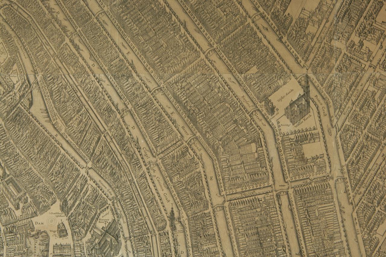
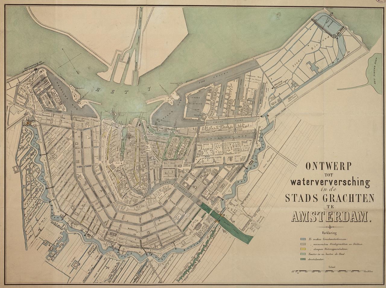
The city grew to roughly four times its original size, becoming the beating heart of world trade during the Golden Age. Thousands of warehouses lined these waterways, making Amsterdam the most efficiently organized trading city on earth. Of course, not everything about canal life was glamorous. These same waters doubled as an open sewer and, rather unsettlingly, a drinking water source at the same time. The canals were genuinely filthy, which explains why Amsterdam eventually filled in many of them. Those blocked-off canals are now some of the city's busiest streets. Looking at the old map we attached, you can see just how central the canals were. Neighborhoods like De Pijp and Oud-West were nothing but open land beyond the city's watery borders. The canals weren't just pretty, they literally defined where Amsterdam began and ended.
Any feedback for this story?