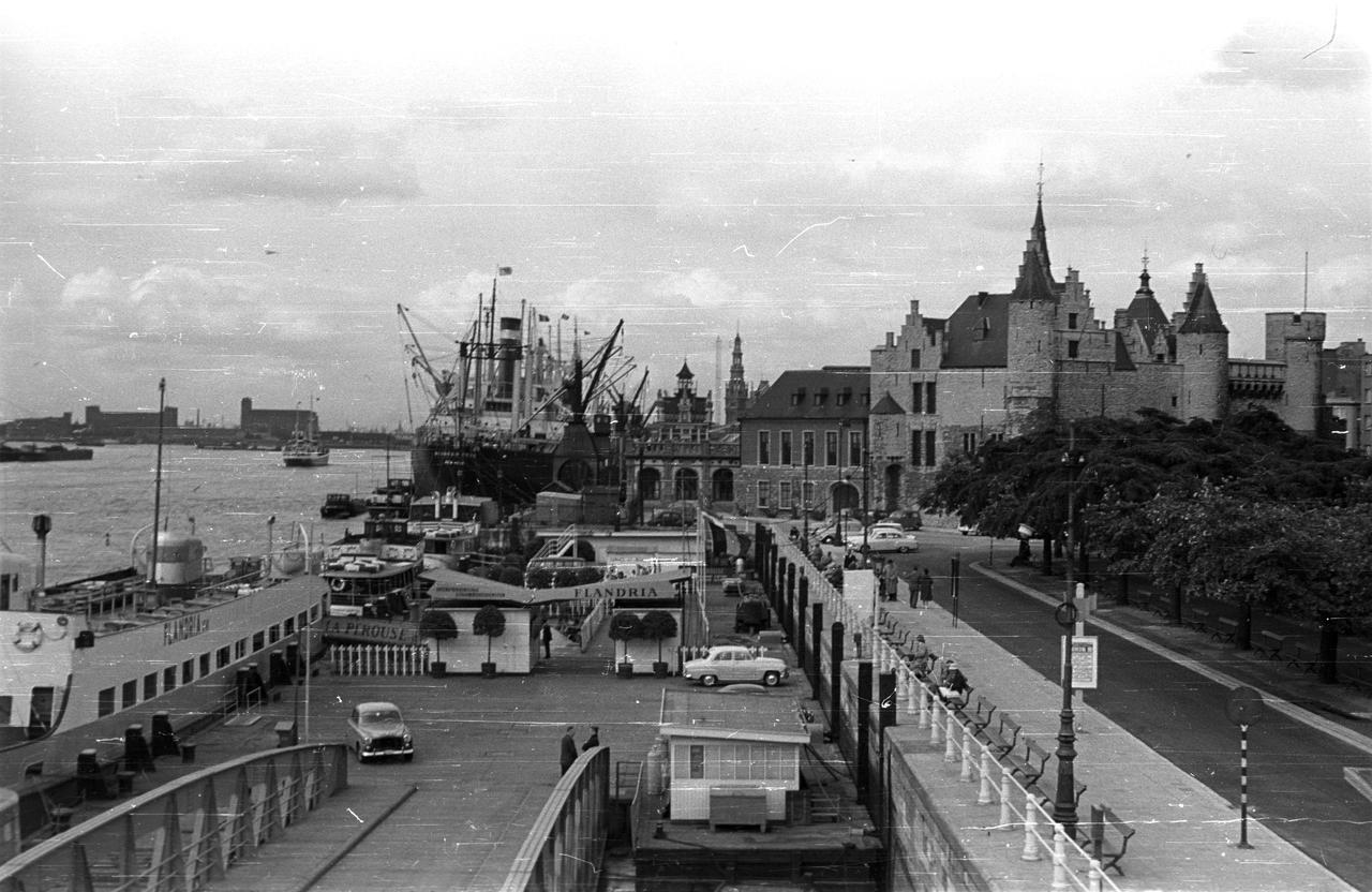
The construction of the Scheldt quays
We are standing on the Scheldt Quays, the place where Antwerp has been connected to its river for centuries. Where you now see wide promenades and green spaces, there were once narrow docks filled with cranes, warehouses, and bustling activity. The Scheldt was the city’s lifeline: spices, textiles, and exotic goods arrived here, while ships loaded with Flemish products departed for the rest of the world.
In the Middle Ages, the quays consisted of separate landing spots with wooden jetties and towers from the old city walls. Only in the 19th century was the entire waterfront straightened and reinforced with a massive quay wall. This huge project made room for modern shipping and offered better flood protection, but it also cost hundreds of houses and changed the face of Antwerp forever. Famous sections of this harbor front include the Jordaenskaai, near the historic center, and the Orteliuskaai, named after the famous cartographer Abraham Ortelius.
A special feature still visible today is the blue stone. This hardstone edging runs along the quay wall and marks the level at which the Scheldt becomes dangerously high. During spring tides or storm surges, the water can spill over it, a visible reminder of the river’s power. In the past, wooden posts were anchored into it to moor ships, making the blue stone a silent witness to centuries of harbor life.
Any feedback for this story?