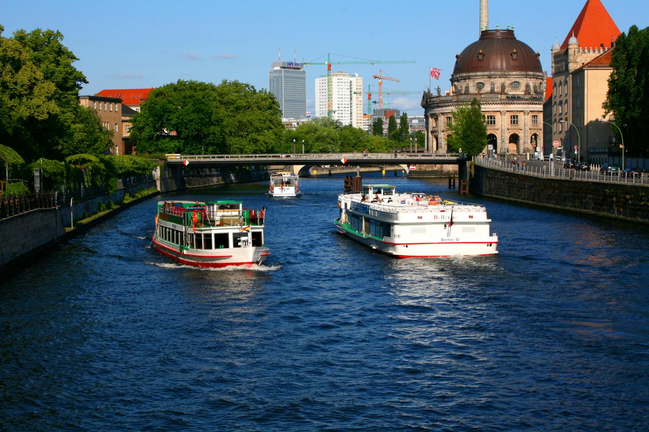
The Spree
Look at the flowing waters beside you — this is the Spree, a river that has quietly witnessed centuries of Berlin’s transformation. The Spree stretches about four hundred kilometers, flowing through three German states: Saxony, Brandenburg, and Berlin. It enters the capital from the southeast, weaving its way through the city before joining the Havel River in the west. While it offers scenic beauty today, the Spree’s role has long been practical, shaping Berlin’s history, economy, and identity.
In the Middle Ages, the Spree was a lifeline for trade and travel. Settlements like Cölln and Berlin grew along its banks, using the river to transport goods and connect with surrounding regions. The river’s accessibility helped Berlin rise as a regional hub. By the eighteenth and nineteenth centuries, new canals linked the Spree to other major waterways, extending its reach and creating a stronger transport network across Prussia. During the Cold War, the Spree carried a different meaning.
As the Berlin Wall divided the city, stretches of the river itself became part of the border between East and West. In places like the Oberbaum Bridge, the Spree stood as both a physical and symbolic barrier. Many attempted to cross its waters in search of freedom — some succeeded, but many journeys ended in tragedy. Today, the Spree flows through a reunited Berlin, surrounded by a changing landscape. Former industrial zones along its banks have been redeveloped into cultural venues, art spaces, and modern housing. One of the most visited spots is the East Side Gallery, a preserved section of the Berlin Wall running beside the river, now covered in murals that speak to freedom and creativity.
Any feedback for this story?