The Atlantic Wall
In 1943, the German occupiers began constructing the Atlantikwall, a massive coastal defense system stretching from Norway to the French-Spanish border. Due to its strategic location, The Hague became a crucial part of this fortification. To repel a possible Allied invasion, the city and its surroundings were transformed into a fortified zone.
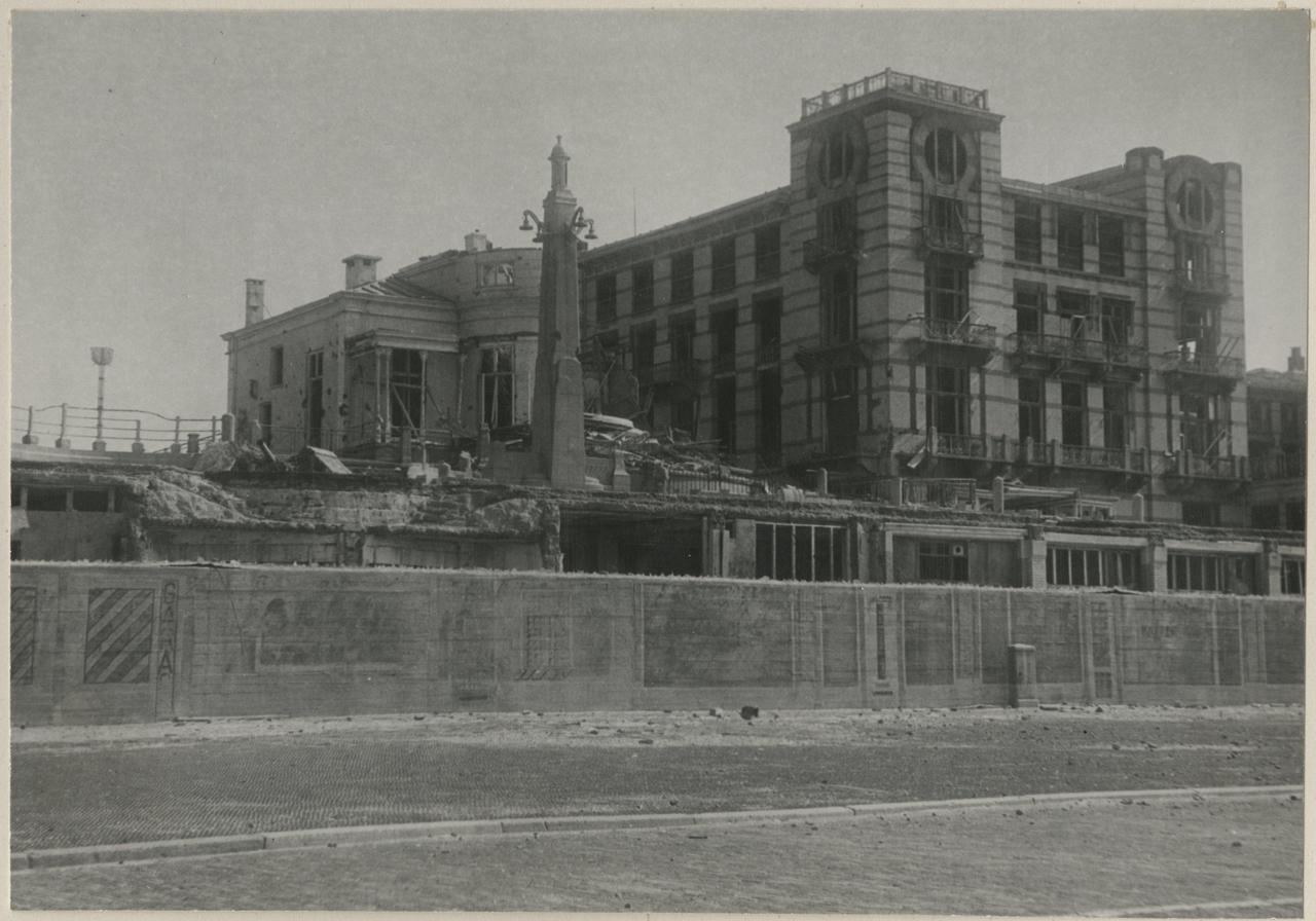
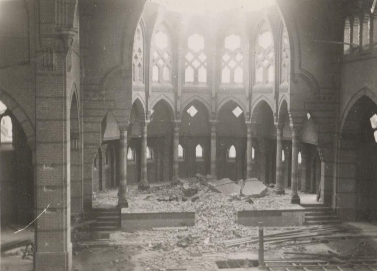
The construction involved widespread demolition and forced evacuations. Parts of Duinoord and the Statenkwartier were leveled to make way for anti-tank trenches and towering concrete walls. Over 30,000 homes were evacuated, displacing about 140,000 residents—nearly a quarter of the city’s population. Almost all of Scheveningen’s inhabitants were forced to leave, many finding temporary refuge in regions like the Achterhoek, in towns such as Aalten.
The city’s landscape changed dramatically. The defense line stretched from Kijkduin through the Haagse Bos to the coast, creating a wide, barren strip declared off-limits. Around 50,000 trees were felled, altering the environment even further.
After the war, the original layout and residential character of these areas were not restored. Today, keen observers can still trace the former path of the Atlantikwall through the postwar architecture. The remaining structures stand as somber reminders of the city's wartime experience and the extreme measures taken during the occupation.
Any feedback for this story?