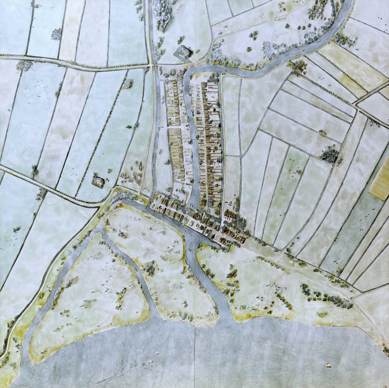
Dam in the Rotte
You’re standing by the Rotte, with the Laurenskerk behind you. This is where it all began for the city of Rotterdam. In the Middle Ages, this area was still marshland, prone to flooding. Around 1150, the first dikes were built to control the water.
Dikes were constructed along the Rotte and toward the Nieuwe Maas—like the Kleiweg, Beukelsdijk, and Oude Dijk. By around 1250, the Schielands High Sea Dike was mostly complete, except at the Rotte’s outlet. Twenty years later, a dam was built there—right where Hoogstraat is now.
The dam blocked Maas water at high tide, and sluices drained river water at low tide, making the land livable. Houses were built along the dam in a line, forming the first settlement of what would become Rotterdam.
By 1300, several hundred people lived here. The dam became a hub for trade and craft, and soon the heart of the growing city. Its location along waterways helped Rotterdam develop important trade routes in the centuries that followed.
Managing dikes and sluices became crucial. In 1273, the Schieland Water Board was founded to organize water control. The battle against water never ended, but without the dam and dikes, Rotterdam would never have existed.
Any feedback for this story?