Huis ter Berghe
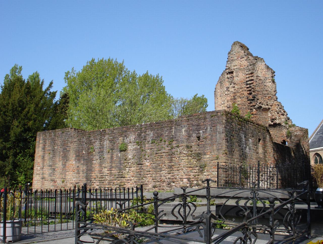
Here, on this very spot, stood Huis ten Berghe, a 13th-century residential tower that once formed the heart of Hillegersberg. Built on a sand ridge, a "donk," the castle offered views over the surrounding peat landscape. According to an old legend, the hill was formed when the giantess Hillegonda lost sand from her apron; her image still adorns Hillegersberg's coat of arms.
The first written mention of Huis ten Berghe dates from 1269, when Count Floris V granted it in fief to Aleyde, daughter of Vrancke Stoep van Hildegardsberghe. Later, the castle came into the possession of the Van Mathenesse family. The donjon, with walls 1.35 meters thick, had a square plan of 10 by 10 meters and consisted of two floors above a vaulted cellar. The entrance was on the first floor and accessible via a wooden staircase.
In 1426, the castle was destroyed by the troops of Jacoba of Bavaria during the Hook and Cod wars. However, the ruin remained. In the 19th century, after the prohibition of burials in churches, burial vaults were constructed beneath the ruin. Since then, the site has served as a cemetery, where interments still take place. In 1973, the ruin was designated a national monument.
Any feedback for this story?