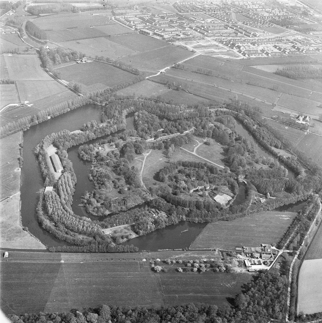
New Dutch Waterline
The New Dutch Waterline, or Nieuwe Hollandse Waterlinie, is an exemplary feat of Dutch engineering and military strategy, spanning over a century of history. Conceptualized by Cornelis Krayenhoff, a prominent Dutch engineer and Minister of War, in the late 18th century, it was intended to extend the existing water defenses to encompass Utrecht. Napoleon Bonaparte, recognizing its strategic value, also showed interest in fortifying Amsterdam through this plan.
It wasn't until 1815, under King William I's decree, that the waterline's construction commenced, reaching completion in 1870. This impressive defense system stretched over 85 kilometers and included 96 forts, accompanied by a network of dikes, sluices, and canals to ensure comprehensive control and fortification.
Notable examples like Fort Vuren, Fort Lunetten, Westbatterij Muiden, and the fort city of Naarden, still stand today, serving as poignant reminders of the past and as attractions for cultural tourism.
The waterline's primary tactic was deliberate flooding of the land to impede enemy advances, effectively utilized four times: during the Franco-Prussian War in 1870, World War I (1914-1918), in 1939-1940, and again during World War II (1940-1945). However, the advent of aerial warfare in the 1940s rendered this defense mechanism obsolete. Ironically, during the German occupation in World War II, the same inundated areas were used against the Allies to thwart their progress through Holland.
Although the waterline has ceased military operations, much of its structure remains intact. The land that was once flooded still bears the impact, making it unsuitable for other purposes. In recognition of its historical and cultural significance, the New Dutch Waterline was nominated for UNESCO’s World Heritage list in 1995, achieving this honor in 2021. It also holds a place among the Netherlands' national monuments, celebrating its remarkable structural accomplishment and its enduring legacy in Dutch history.
Any feedback for this story?