Oudegracht
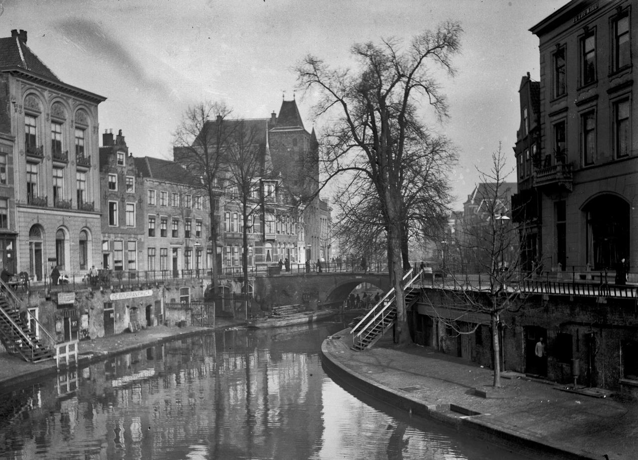
What you're looking at right now isn't actually a canal. The Oudegracht is a tamed river, the Rhine itself, redirected and reshaped over centuries. Back in the 10th century, Utrecht diverted part of the Rhine as a trading route. Then, in 1122, a dam was built upstream at Wijk bij Duurstede, the water level dropped dramatically, and the city seized the moment. They dug out the banks, piled the excavated earth along the edges, and suddenly the street sat several meters above the water. That's why you're standing so much higher than the boats below you.
Those stone cellars lining the water, the werfkelders, were built directly into those raised banks. Medieval merchants stored their goods there, loaded and unloaded cargo straight from the water. Today they hold cafés and restaurants, but the bones of the old trading city are still very much visible in the stonework.
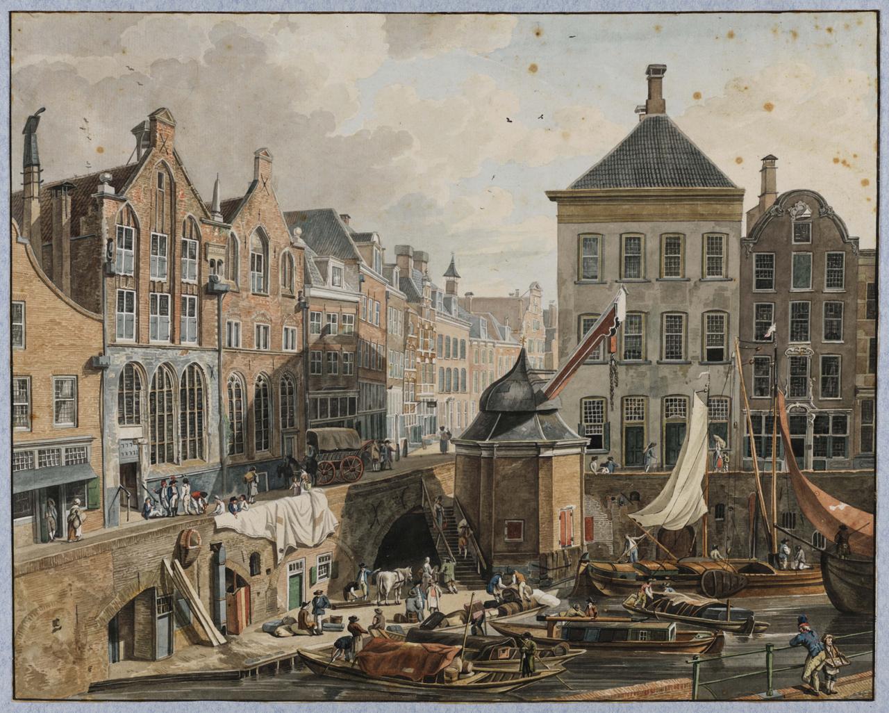
Now look for the small marker on the wharf below. It shows where the city crane stood for 437 years. On September 9, 1837, workers used it to hoist four cast-iron women, ordered from England for the facade of the Winkel van Sinkel. The last one proved one lady too many. The crane snapped, plunged into the water, and was never rebuilt. The four statues survived, were hauled up later, and still stand on that facade today. Utrechters immediately nicknamed them "the British whores."
Any feedback for this story?