't Wed
Somewhere under the cobblestones near where you're standing now, cattle from Utrecht's old livestock market used to walk through a tunnel to reach the canal and drink. That detail alone tells you something about how this city worked.
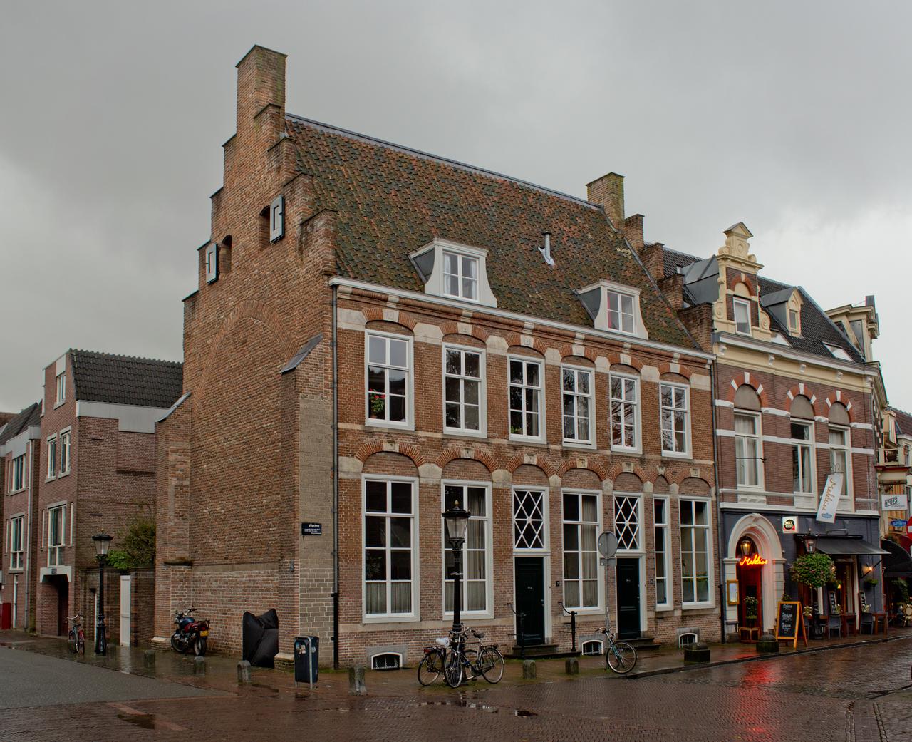
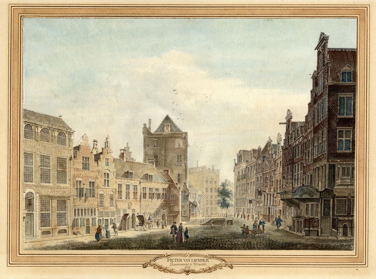
't Wed is the short street connecting two stretches of the Oudegracht canal, lined today with restaurants and café terraces. But the name goes deeper than the address. A "wed" was originally a gently sloping ramp from the water up to street level, less steep than a regular quay, so that horses pulling carts and sleds could haul goods up from the boats below without breaking their legs or their loads. It also served as a watering place for livestock making their way from the Neude market.
Getting cargo off those canal boats was always a logistical headache. Workers carried bags on their backs up the slopes. A crane near the Winkel van Sinkel helped, though it couldn't handle much. And small tunnels were dug so carriers could move goods more easily between the lower wharves and the higher streets. One of those tunnels ran right here.
Then there is Paleis Lofan, buried in the cellars under the Vismarkt just next door. On the 2nd of June 1122, Emperor Henry V signed Utrecht's city rights in a hall with tuff-stone columns and arched windows measuring 30 by 12 metres. The palace burned down in 1253, was forgotten for centuries, and only rediscovered in 1865 when a builder stumbled across an ancient column during renovations. So next time you order a drink on this terrace, you're essentially sitting on top of a lost imperial palace.
Any feedback for this story?