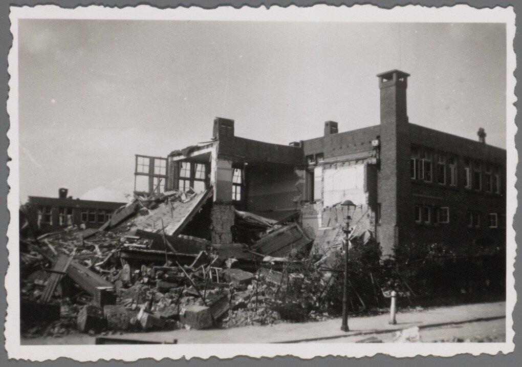
In July 1943, during World War II, a period when the industrial sector of the district was a key strategic target for Allied air raids, a tragic incident occurred that would leave deep scars. The Fokker Factories in Tuindorp Buiksloterham were planned as potential targets, but events would take an unexpected turn.
On 17 July 1943, the sound of approaching planes filled the air. The residents of Amsterdam-Noord felt the tension rising as they took shelter, waiting to see what was to come. Allied bombers flew above the city, ready to shed their destructive loads. Fate, however, had other plans. In a tragic confusion, US bombs were dropped not on the intended Fokker Factories, but on adjacent residential areas.
The explosions tore up the streets, houses were destroyed and countless innocent lives were abruptly ended. The peaceful Volewijck neighbourhood, once home to many, became the scene of a terrible tragedy. The consequences were devastating. With 158 dead and 119 seriously wounded, it became the heaviest bombardment Amsterdam faced during the entire war. It was a day of immeasurable grief and loss, a day that would mark the city forever. But it was not just people who paid the price.
The bombs left a trail of destruction in their wake. 106 houses were completely wiped out and another 206 were severely damaged. The scars of war became tangible in the ruins that once housed vibrant communities. Shards of glass and collapsed roofs silently testified to the destructive power of conflict. Annually, on 17 July, a commemoration is held at The New North. At this gathering, people come together to reflect, mourn and pay tribute to those who lost their lives during this tragic bombing. The commemoration serves as a moment of reflection, a reminder of the fragility of peace and the profound effects of war on communities.
Sources. Story: Source story: https://kaart.amsterdam.nl/over-de-straten-van-amsterdam?pk_vid=11c691145250127e1686843905a156d6#52.2908/4.5820/52.4525/5.0764/topo/11682,11683,11685,11686,11687,11688,11689,11690,11691,11692,11693,11694,11695,11696,11697,11698,11699,11700,11701,11702,11703,11704,11705,11706,11707,11708,11709,11710,11711,11713,11714,11789,11790// Photos: Source photo: Stadsarchief Amsterdam