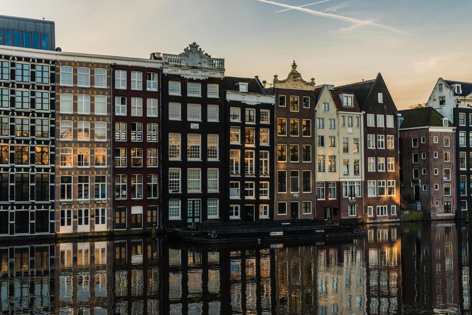
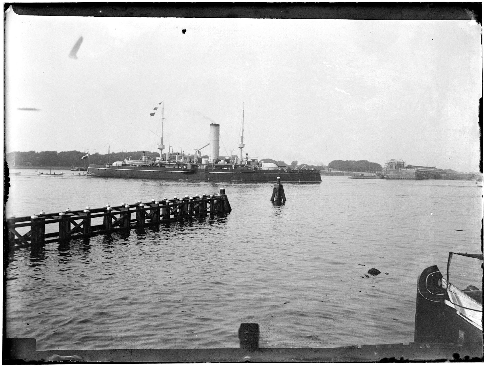
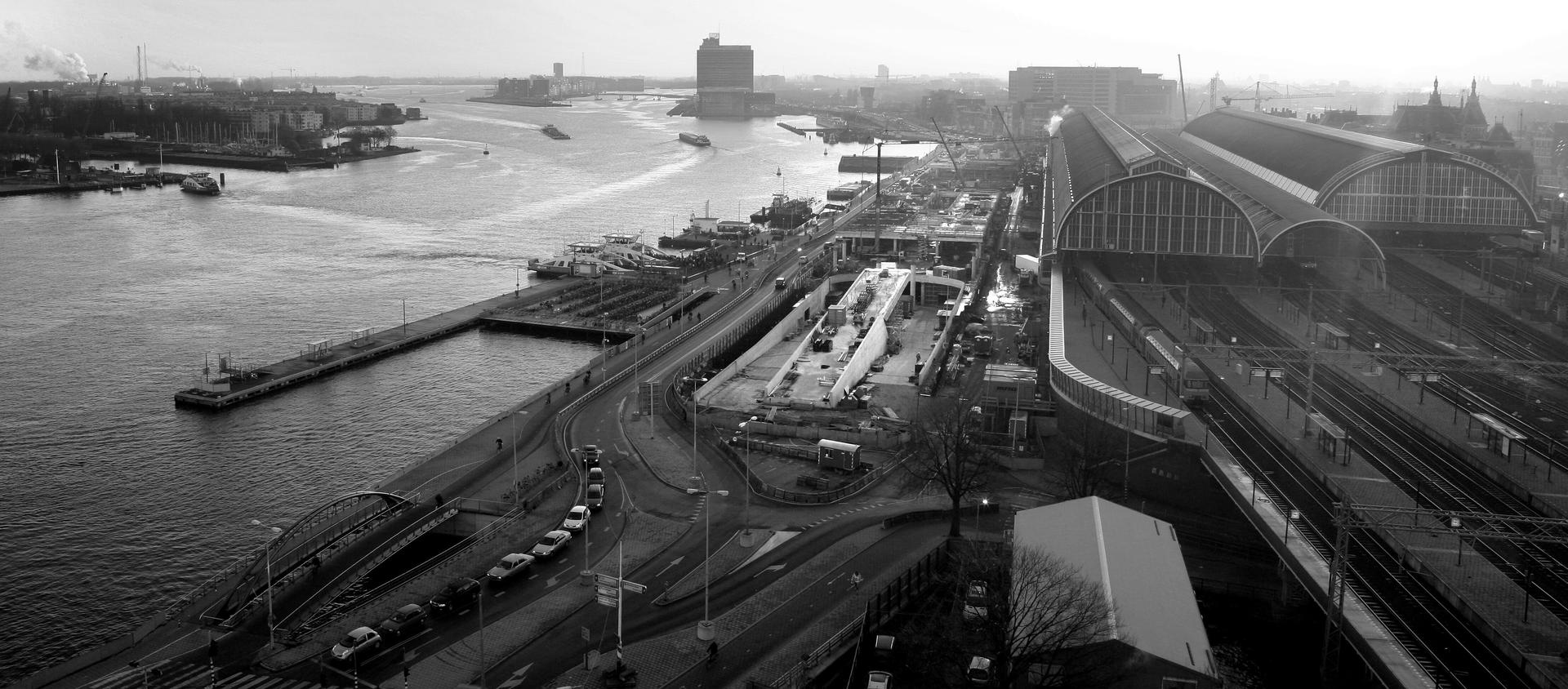
Amsterdam's water, known as the IJ, connects the North Sea to the west with the IJmeer to the east. Originally it was a bay, and on some old maps it still appears as such, until the force of the water caused it to expand in weak places and turned it into a river. The history of this river is rich and surrounded by numerous ideas and theories about its origins. Some argue that it began as a stream. The most likely cause of its formation is that it is a small remnant of an arm from the Rhine Delta.
Over the years, the river has notoriously eaten away land around it - destroying farmland and weakening the ground beneath buildings. The river's banks and basin have since been strengthened to protect the surrounding land, as well as to preserve the river's history and nature. Although its history is extensive and the river has been used for numerous trading and construction purposes, it is still used today - especially for the event 'Sail Amsterdam', which takes place once every five years.
Sources. Story: Source story: Photos: Source photo: Stadsarchief Amsterdam