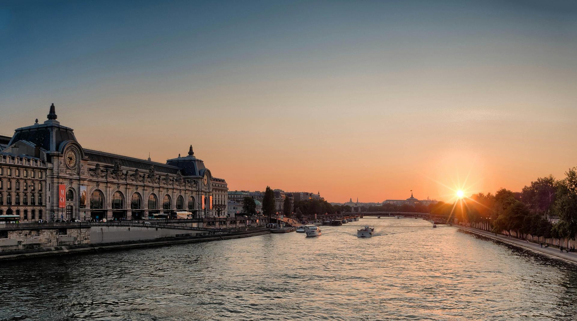
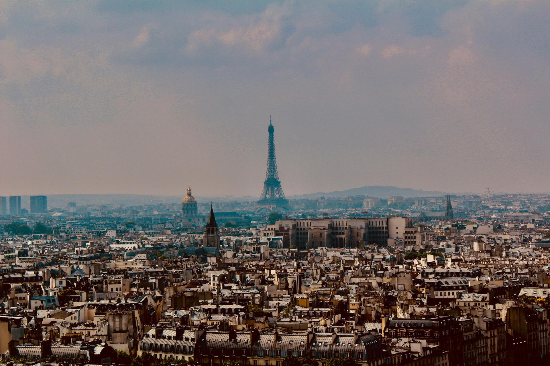
We are standing by the Seine, with the old Gare d’Orsay behind us. In January 1910, floodwaters poured in through sewers and ventilation shafts, turning the station into a massive basin. Within days, the Seine had risen to 8.62 meters above normal level, submerging large parts of Paris.
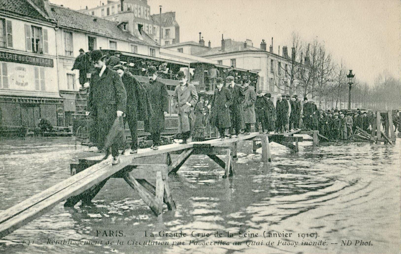
Weeks of relentless rain caused the river and its tributaries to overflow. Metro tunnels filled with water, which seeped into basements, stations, and streets. Many Parisians could not leave their homes and moved around the city by boat. To allow people to cross, wooden footbridges were built over the flooded streets. In the photo we’ve added here, you can see how residents walked from street to street over these temporary constructions.
This great flood brought city life to a standstill. The metro network shut down, electricity failed, and thousands of buildings became uninhabitable. The crisis lasted more than six weeks and affected twelve arrondissements, leaving a lasting reminder of how vulnerable the city was to the force of the river.
Sources. Story: ['Source Story: https://en.wikipedia.org/wiki/1910_Great_Flood_of_Paris'] Photos: Source Photo: By Collection personnelle Scanné par Claude Shoshany, Public Domain, https://commons.wikimedia.org/w/index.php?curid=4144550