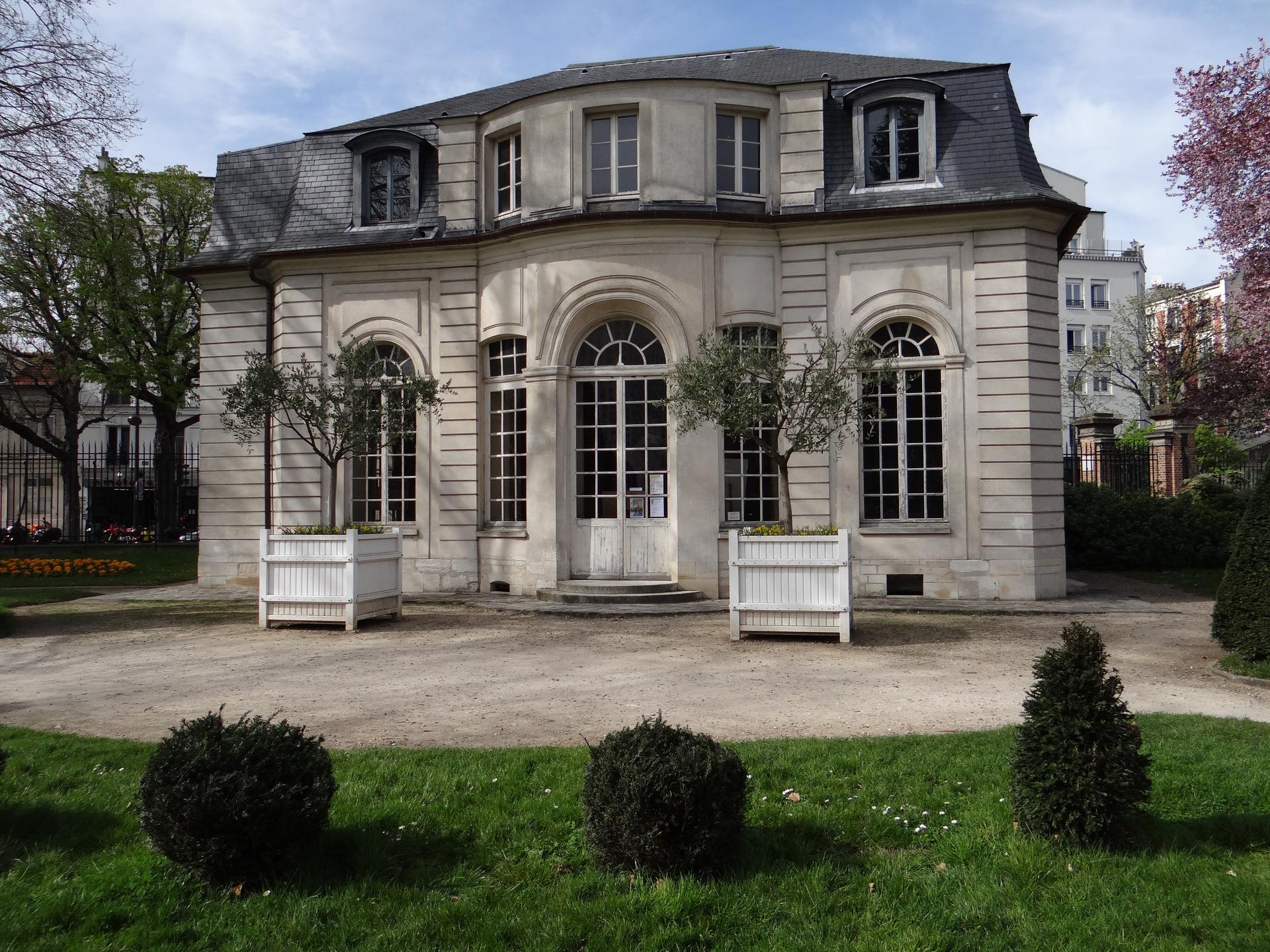
Rue de Bagnolet is an approximately 1,400‑metre street in Paris’s 20th arrondissement, running from boulevard de Charonne to Porte de Bagnolet. It was once part of the village of Charonne and bore names like Rue au Vacher and Grande Rue de Charonne until its current name was adopted on 2 April 1868.
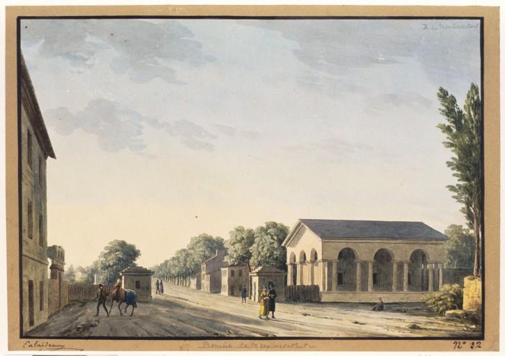
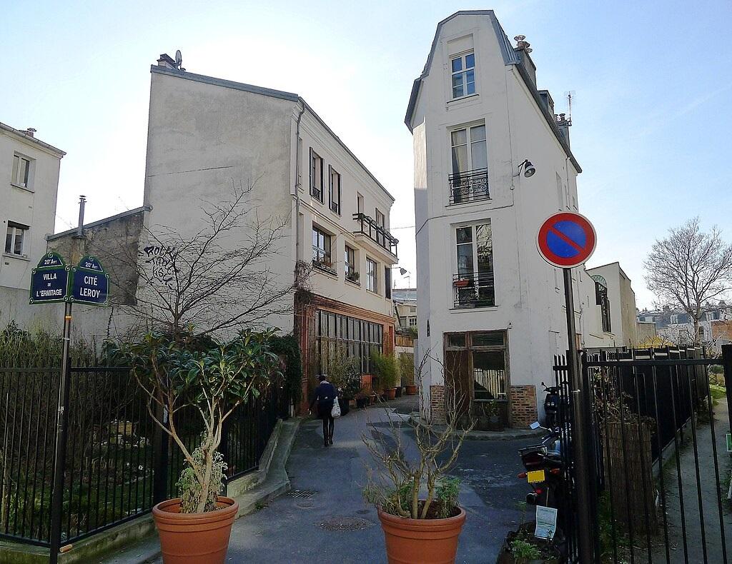
In the 18th century, this was the park of the Château de Bagnolet, where Françoise‑Marie de Bourbon, wife of the Regent, built a hermitage. The only surviving trace of that era is the Pavillon de l’Ermitage, and this is exactly where we are standing now. In the 19th and early 20th centuries, the area shifted from a rural village into an urban neighbourhood.
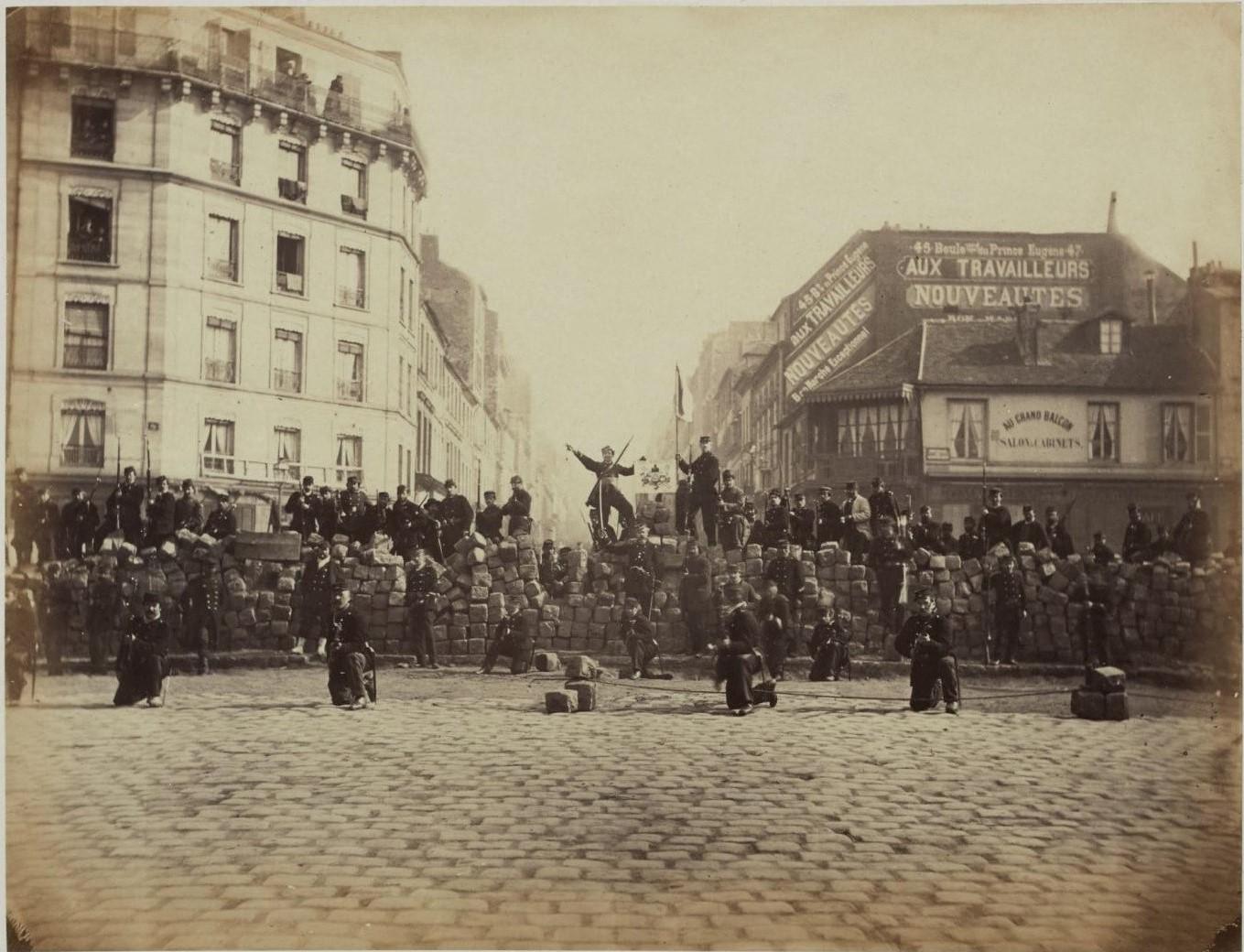
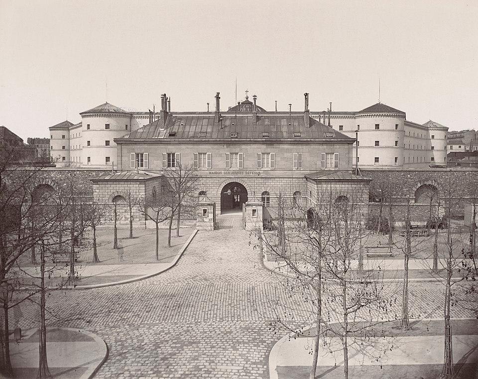
Workers, artisans and small factories settled here, especially after Charonne was annexed by Paris in 1860. In the 1950s and 60s, the street was widened for new developments, and many old village houses disappeared. Today Rue de Bagnolet is lively and diverse. You’ll find modern cultural spots like the Médiathèque Marguerite Duras, the very first Mama Shelter hotel, as well as cafés, bookshops and small local stores. The Pavillon de l’Ermitage and its nearby garden remain a green haven and a tangible reminder of the past.
Sources. Story: ['Source Story: https://nl.wikipedia.org/wiki/Claude_Monet'] Photos: Source Photo: Par Wayne77 — Travail personnel, CC BY-SA 3.0, https://commons.wikimedia.org/w/index.php?curid=31727601