Archaeological research has provided invaluable information about the function and layout of the Roman Empire's frontiers, the so-called limes, and the role of the Rhine as an important transport route for the Romans.
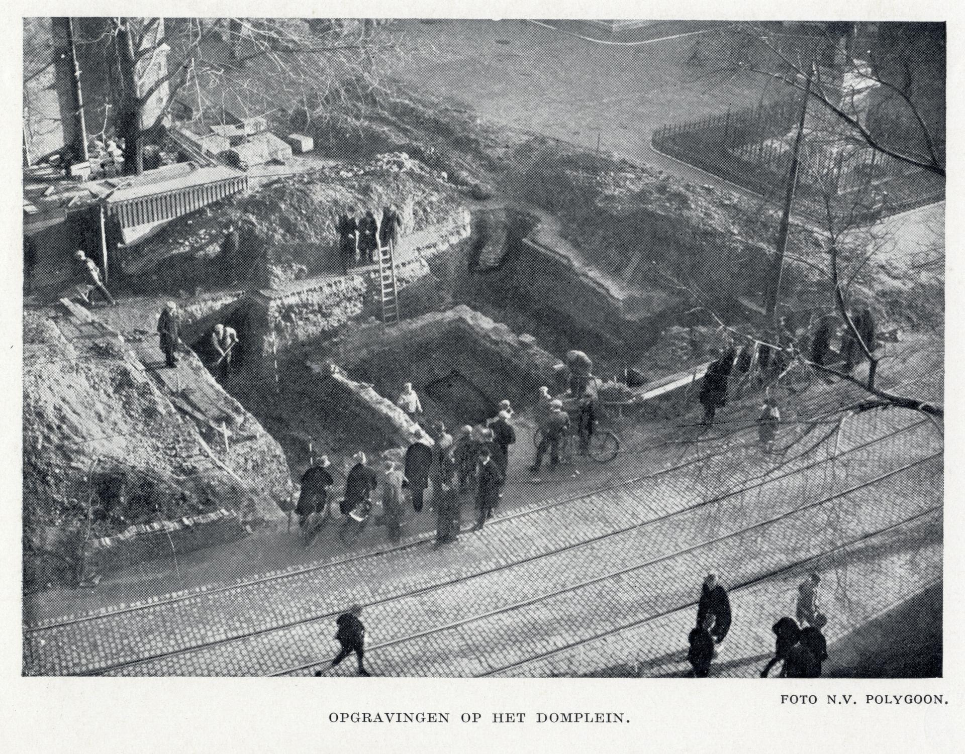
The history of the Utrecht limes dates back to shortly after the beginning of our era. During this period, the local population began to serve as soldiers in the Roman army and to settle in the area. Around 40 AD, the first Roman forts were built, such as on the Hoge Woerd in De Meern and on the site of today's Domplein, then known as Traiectum. Important points along the river, such as key bends, were marked with watchtowers, which were also used during the Roman invasion of Britannia in 43 AD.
By the end of the first century, a Roman road and adapted watchtowers had been built along the Rhine, and the Limes were increasingly developing into a closed border defence system. Under the emperors Trajan and Hadrian, the system was further optimised. However, maintaining the limes was costly and challenging, especially due to the flooding of the Rhine. Drastic measures were taken to reduce their impact, such as the construction of a swamp bridge and the sinking of ships to protect the banks.
The strategic value of the (Utrecht) Limes lasted for centuries, but began to decline in the third century. Roman troops were transferred to other parts of the empire, making it increasingly difficult to defend the frontier against Germanic raids. By 406, the Romans had abandoned the northern territories for good. However, the rich history of the Limes lives on in the Leidsche Rijn, as evidenced by the many archaeological finds that have been made in the area.
Sources. Story: Canon van Utrecht Photos: Source photo: Het Utrechts Archief