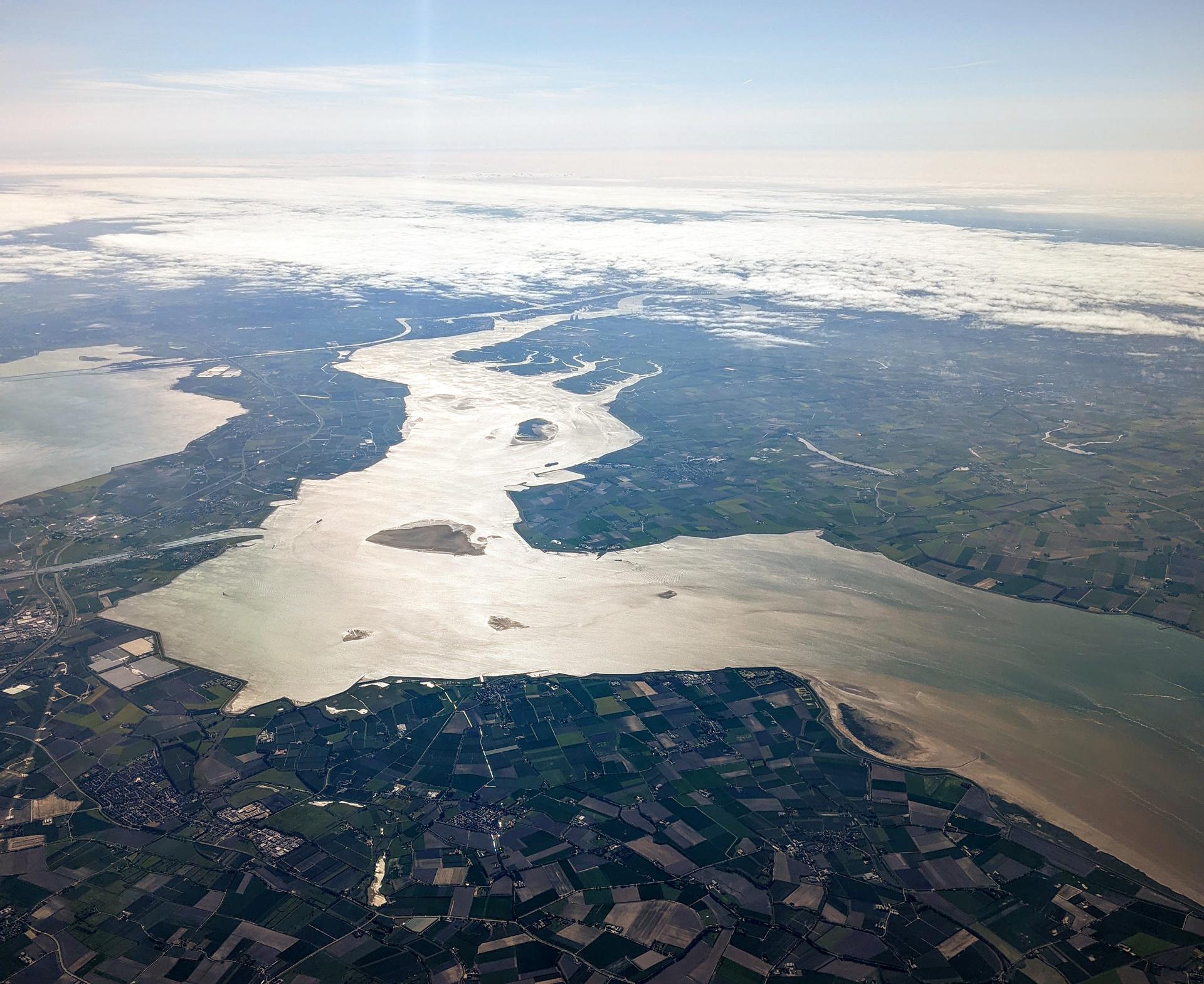
Without the Scheldt, Antwerp would never have become a global port. Since the Middle Ages, ships have docked here, and the city's growth owes much to this wide tidal river. In the 19th century, the Scheldt took on a more permanent form: the construction of quay walls made the transition from water to city safer, more stable, and better suited to increasingly large trade ships.
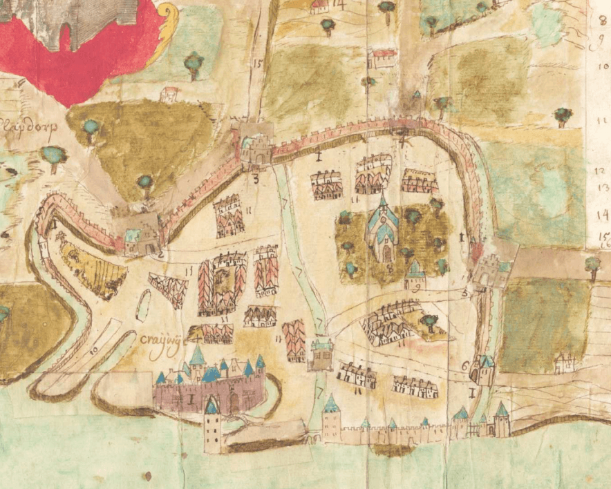
The first stone quay walls appeared in 1819, and from 1837 onwards the entire riverbank was reinforced with bluestone. These works forever changed the city's face: medieval walls disappeared, old waterways were filled in, and a new link between city and river emerged. Over time, more quays were added, often named after cartographers or historic figures, such as Ortelius and Plantin.
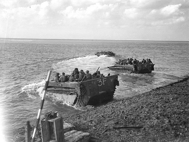
The river remained vital. The Scheldt served as a highway to the sea and the inland region. In 1863, tolls on the river were abolished, giving Antwerp’s port a major economic boost. During World War II, the strategic value of the river was underscored once again, when Allied forces fought fiercely to reopen access to the port.
Today, the quay zone is no longer just functional. Since 2012, redevelopment has aimed to reconnect the city with the river through broad promenades, seating, art projects, and open spaces for all. But the Scheldt itself remains what it has always been: the current that keeps Antwerp alive.
Sources. Story: ['Source Story: https://nl.wikipedia.org/wiki/Scheldekaaien', 'Source Story: https://inventaris.onroerenderfgoed.be/themas/14749', 'Source Story: https://www.seabourn.com/en/cruise-destinations/northern-europe-cruises/northern-europe-ports/scenic-cruising-scheldt-river-351', 'Source Story: https://antwerpen.n-va.be/nieuws/stadsarcheologen-graven-naar-het-verleden-van-de-kaaien', 'Source Story: https://en.wikipedia.org/wiki/Battle_of_the_Scheldt'] Photos: Source Photo: Dicklyon, CC BY-SA 4.0 <https://creativecommons.org/licenses/by-sa/4.0>, via Wikimedia Commons