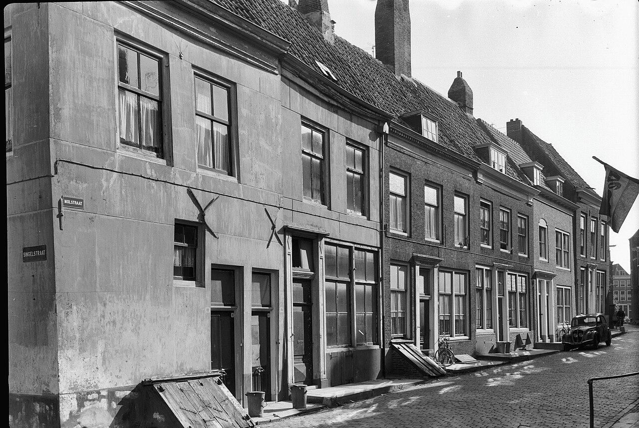
We're standing in an ordinary residential area, which makes what's written on these facades all the more striking.
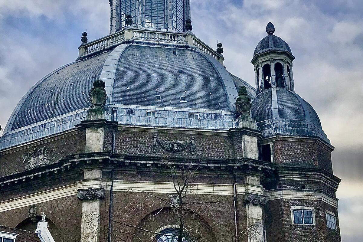
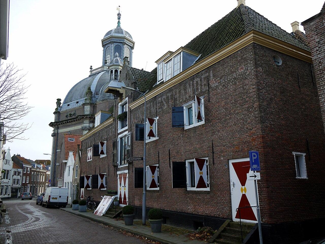
The building to the right of the church is called pakhuis Demerary, a warehouse. Demerary, or Demerara, is a river and a district in what is now Guyana. Dutch plantations once lined the mouth of that river, growing coffee, sugar, cotton and cacao, and the district's main town, Stabroek, later became Georgetown, the capital of Guyana. In 1771, a trading company was founded in Middelburg, the Societeit ter Navigatie op Essequebo en annexe Rivieren, set up specifically to sail that coast. Seventeen years later it was all over. In March 1781, during the war with England, Demerary, Essequebo and Berbice fell into British hands, and once peace came they never returned. The company was wound up in 1788.
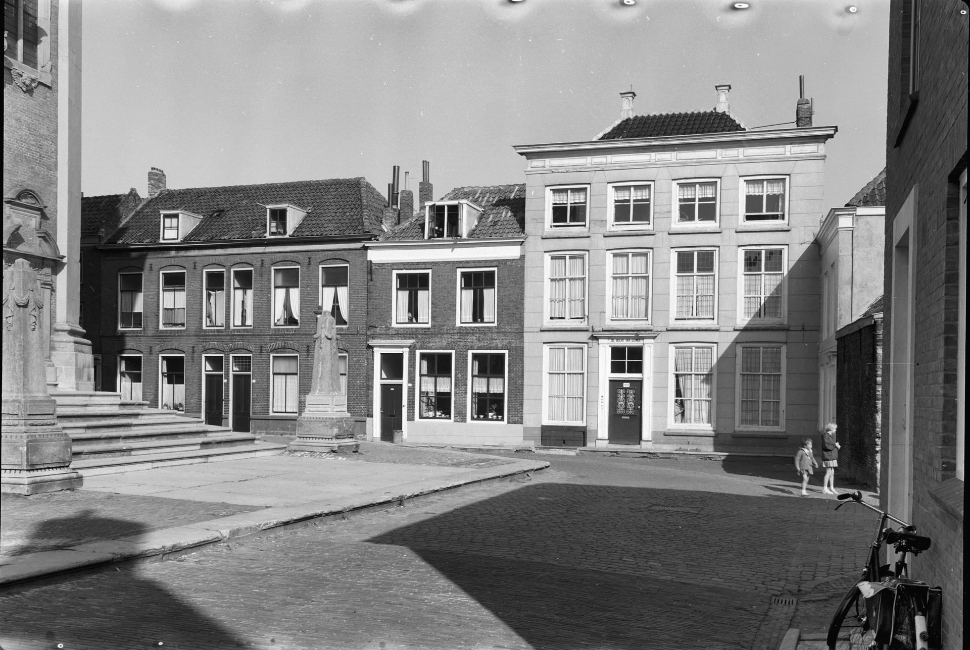
A little further along, on the Oostkerkplein, we find number 13. That house is called de Bogt van Guinee, after the Bight of Guinea, the stretch of sea off the west coast of Africa. That's where the forced crossings began.
So there are two names, two hundred metres apart. One points to the coast where people were brought aboard, the other to the colony where the plantation goods came from. The eighteenth-century citizen of Middelburg who chose these names probably did so the way a shipping owner today might name his office after a harbour.
The Demerary warehouse building is still standing. For a while it was used as a mosque, and now it's a private home.
We walk back south, roughly three hundred and fifty metres, until we reach the water again at the Rouaansekaai.
Sources. Story: Based on the city walk Suiker, cacao en mensen by Viatours and de Drvkkery. Photos: By Rijksdienst voor het Cultureel Erfgoed, CC BY-SA 4.0, https://commons.wikimedia.org/w/index.php?curid=23682695