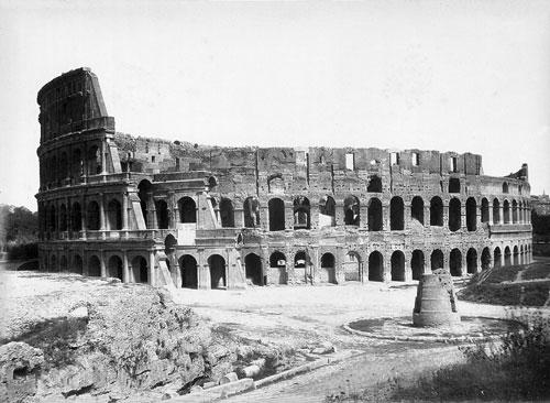
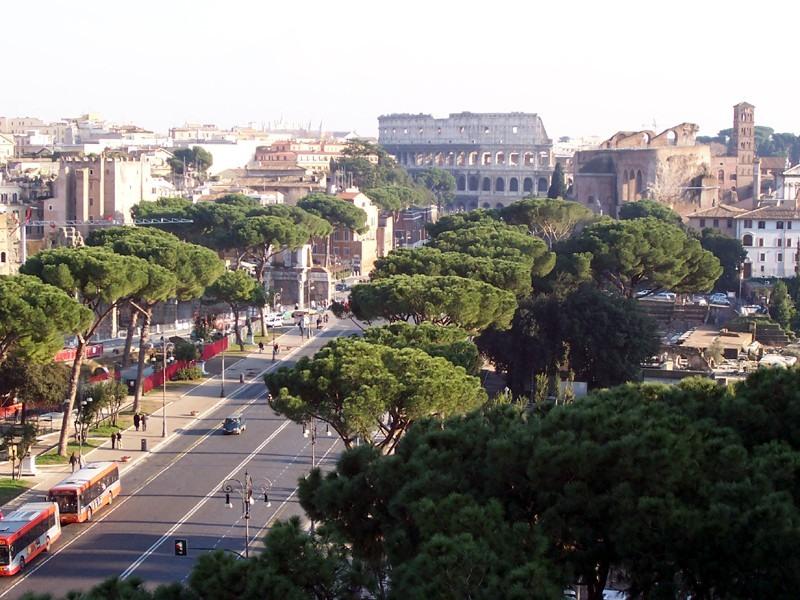
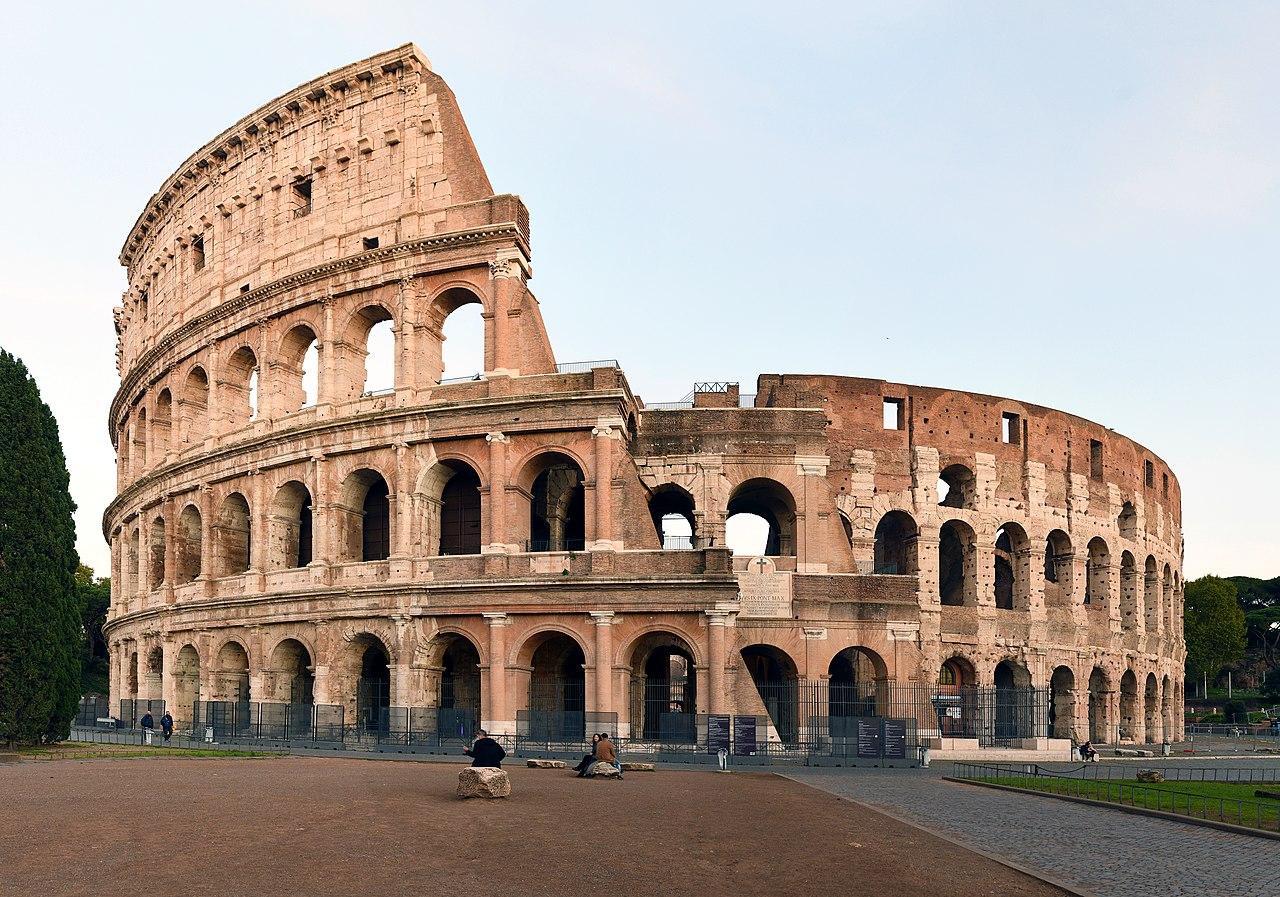
The straight road you're walking on isn't even a century old. , the fascist dictator who ran Italy at the time, had it built in 1932 as a parade avenue linking his balcony on to the Colosseum, and the shortest line between those two points ran straight through a densely populated neighbourhood.
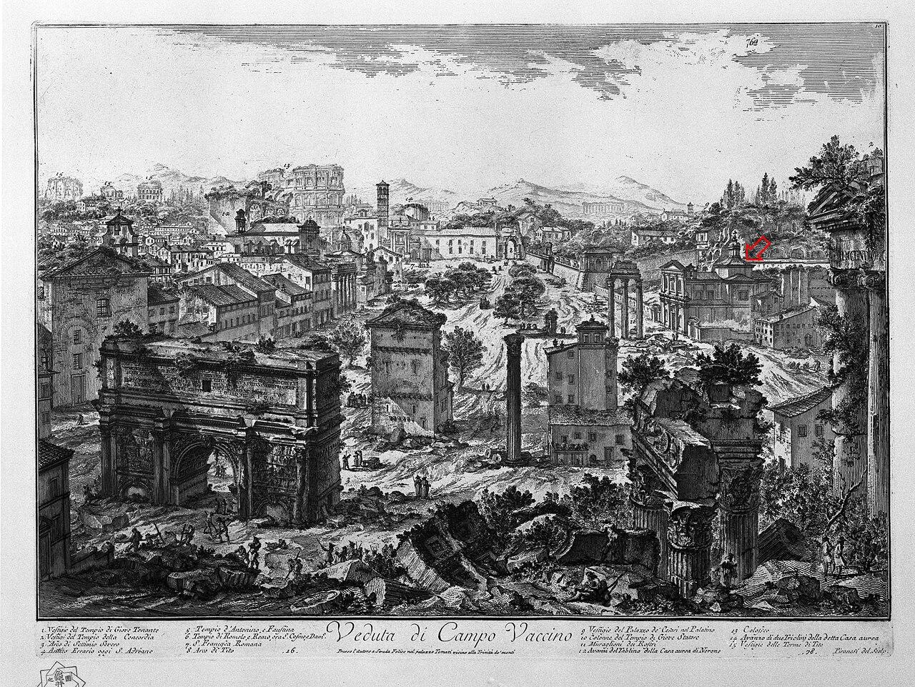
To make room, an entire ridge called the was flattened, and with it more than five hundred houses. The residents, a few thousand by most estimates, were shipped off to new housing developments far outside the city. Whatever hadn't been excavated was buried under the asphalt and is still there, because a large part of the lies beneath this road.
In the wall on the side facing the hang four marble maps that are well worth a look. They show the Roman empire in four stages, from a handful of patches around the city to the entire Mediterranean. There was originally a fifth one too, showing the empire that Italy itself was busy conquering in the thirties, and it was taken down after the war.
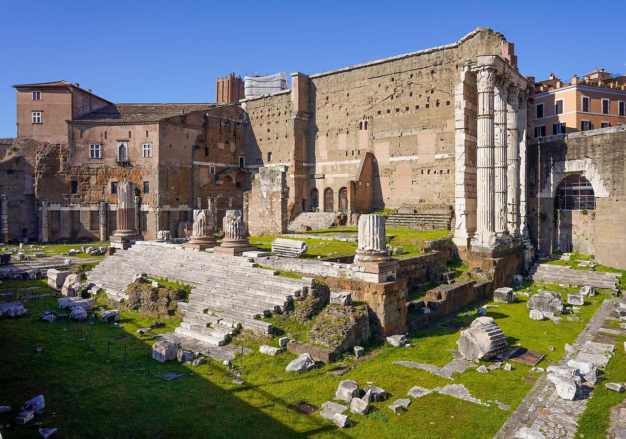
The trees and the lawn on your right belong to a dig that's still going on, so the view here shifts every few years.
We keep following the road towards the Colosseum until we reach the tall dark wall on our left.
Sources. Story: Sovrintendenza Capitolina ai Beni Culturali (Via dei Fori Imperiali); Treccani (sventramenti di Roma, 1931-1933) Photos: Photo: MarkusMark (Wikimedia Commons, CC BY-SA 3.0)