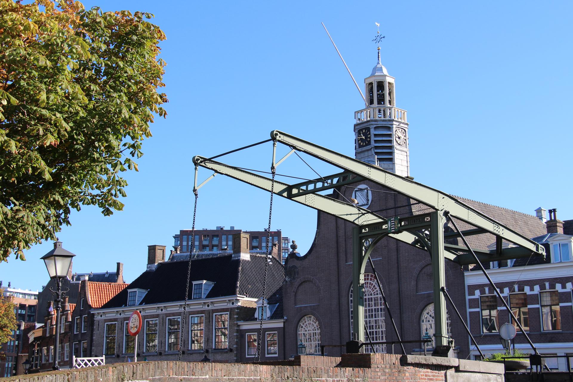
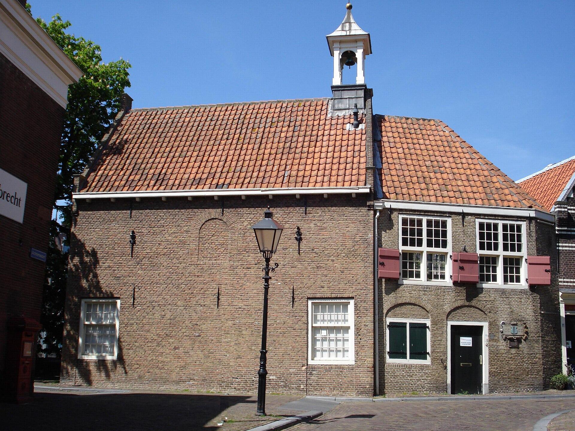
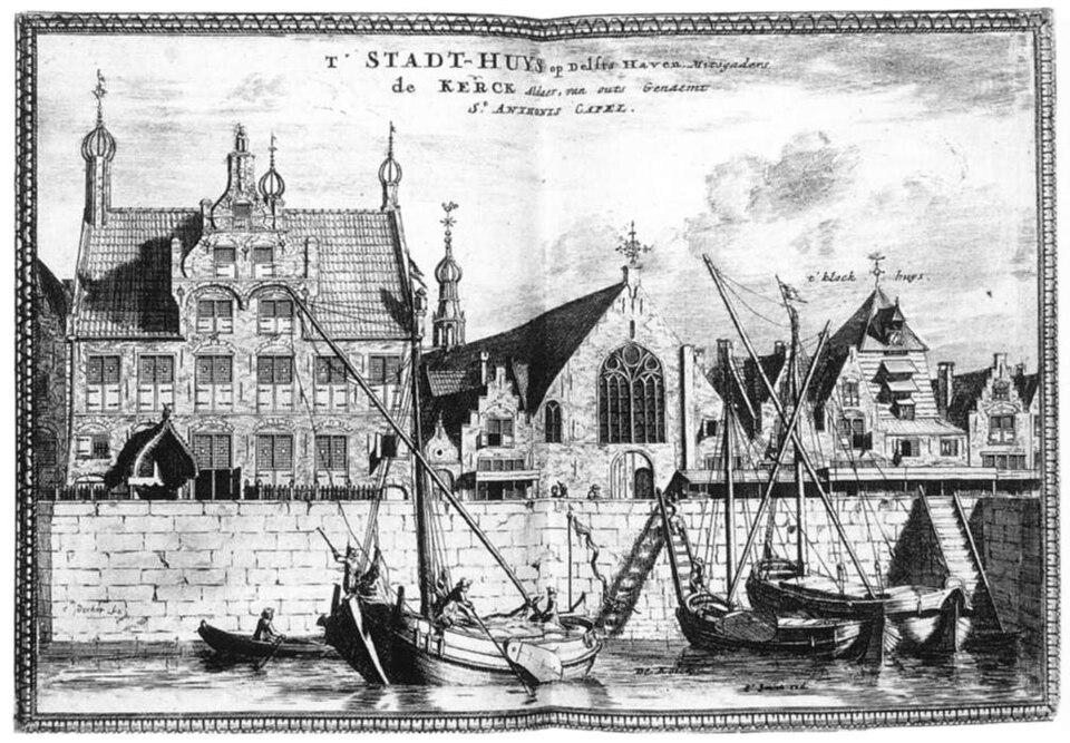
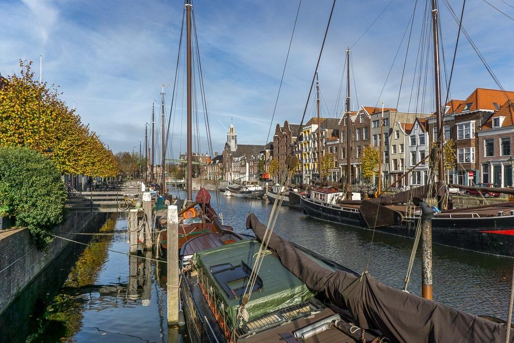
This was the town hall of , built in 1580, back when the place had a government of its own. That municipality ceased to exist in 1886, and the building still stands here as if nobody ever told it.
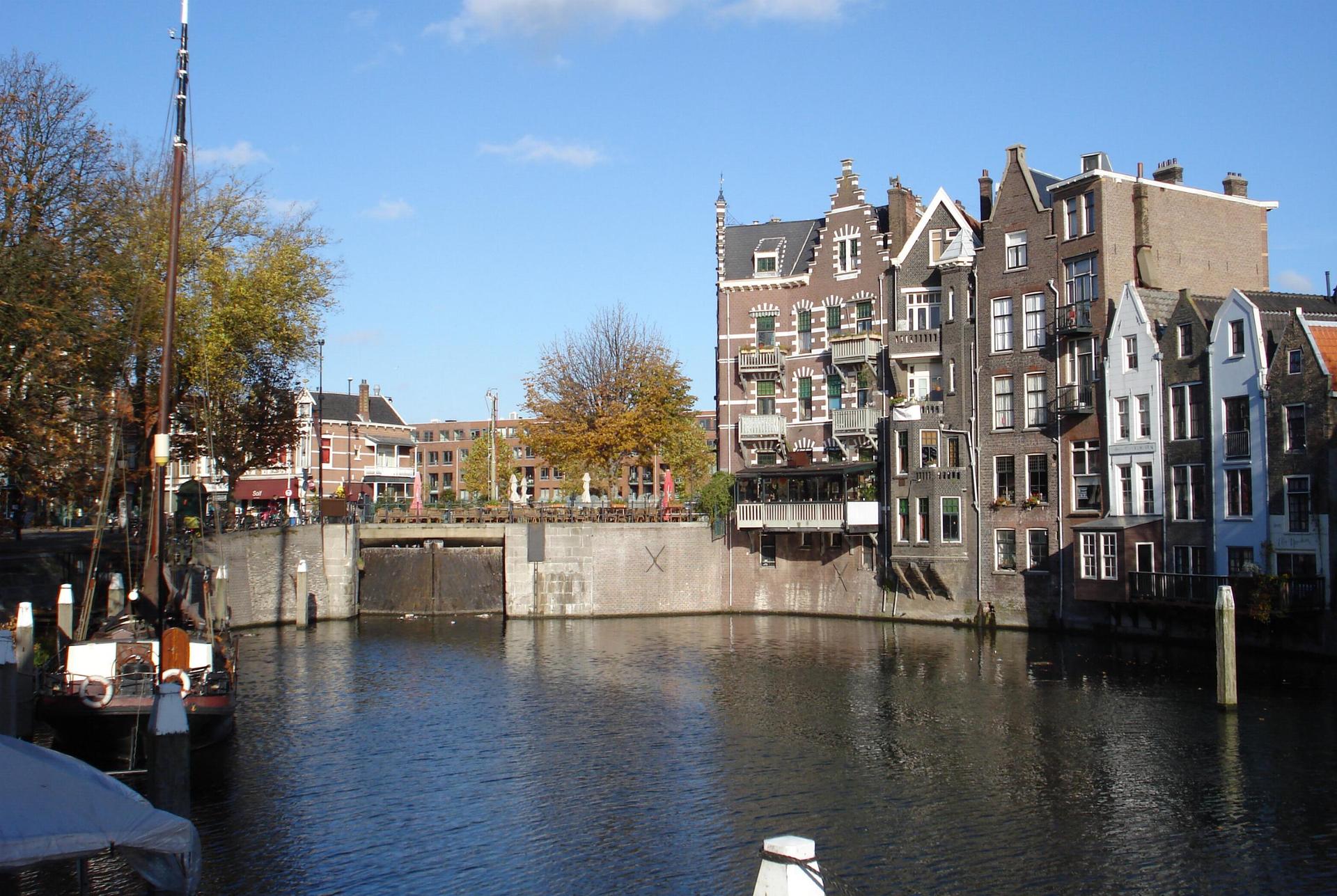
Delfshaven owes its survival to distance and to luck. fell three kilometres to the east, and the fire that kept burning for days afterwards reached the and stopped there. This quay lay out of reach, though the neighbourhood did lose its windmill during those same days in May.
The real danger came later. Once the harbour had been cut off, Delfshaven fell into decline, and by the nineteen sixties there were plans to tear the whole thing down. What saved it was that during those very years someone finally grasped what was still standing here. In 1969 was designated a , and that put the wrecking ball to rest.
This is where the walk ends, and thank you for walking it with us. Metro Delfshaven is four minutes to the northwest, along the Schiedamseweg.
If you want to see what Rotterdam lost in those fourteen minutes, walk The Bombing of Rotterdam. And The Basisplan shows you what the city came up with to replace it.
Sources. Story: Historisch Delfshaven; Rijksdienst voor het Cultureel Erfgoed; Stadsarchief Rotterdam Photos: Photo 1: print by Coenraet Decker, seventeenth century, public domain, via Wikimedia Commons. Photo 2: Gerard Dukker, 1968, Beeldbank Rijksdienst voor het Cultureel Erfgoed, CC BY-SA 4.0