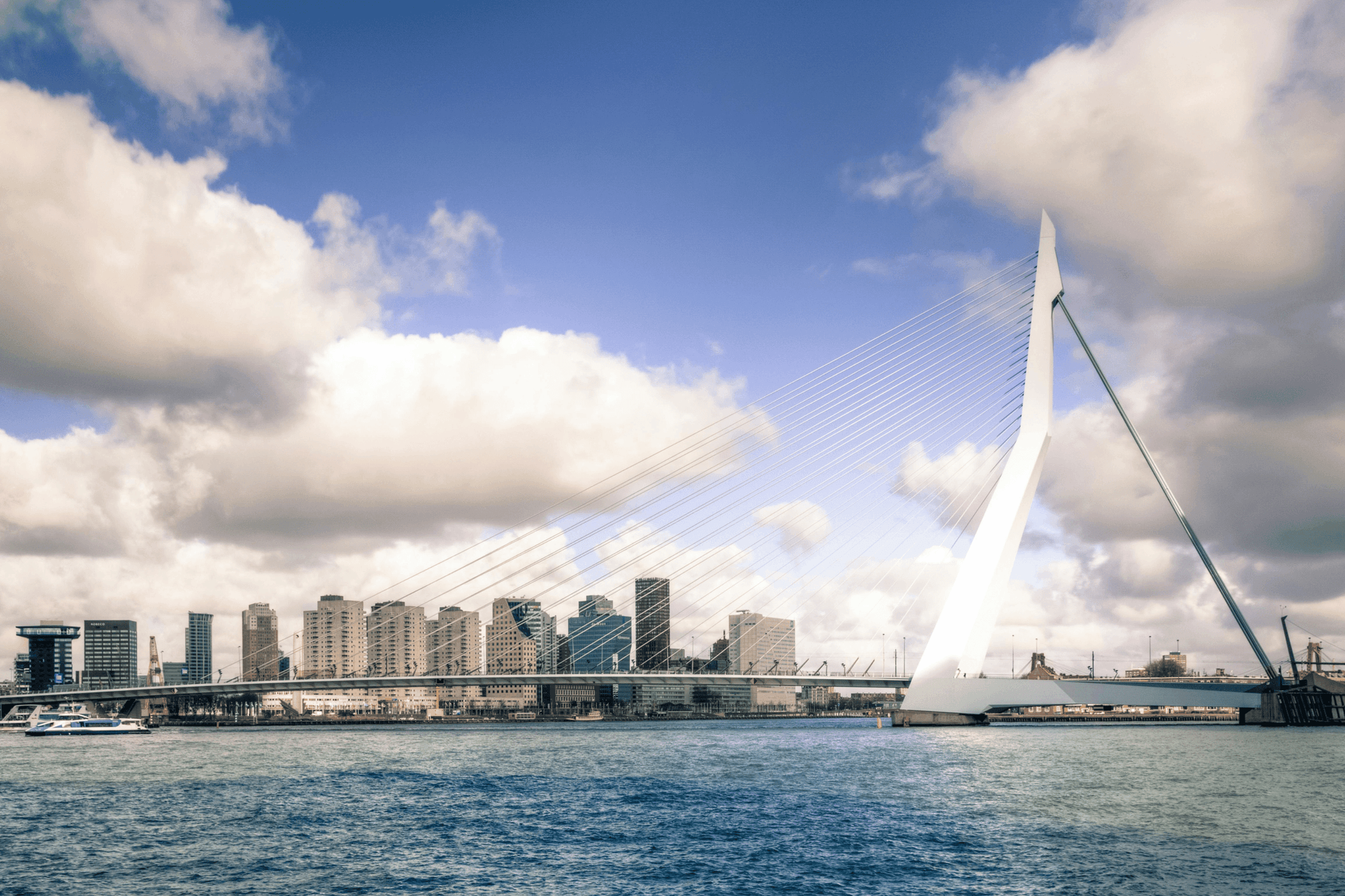
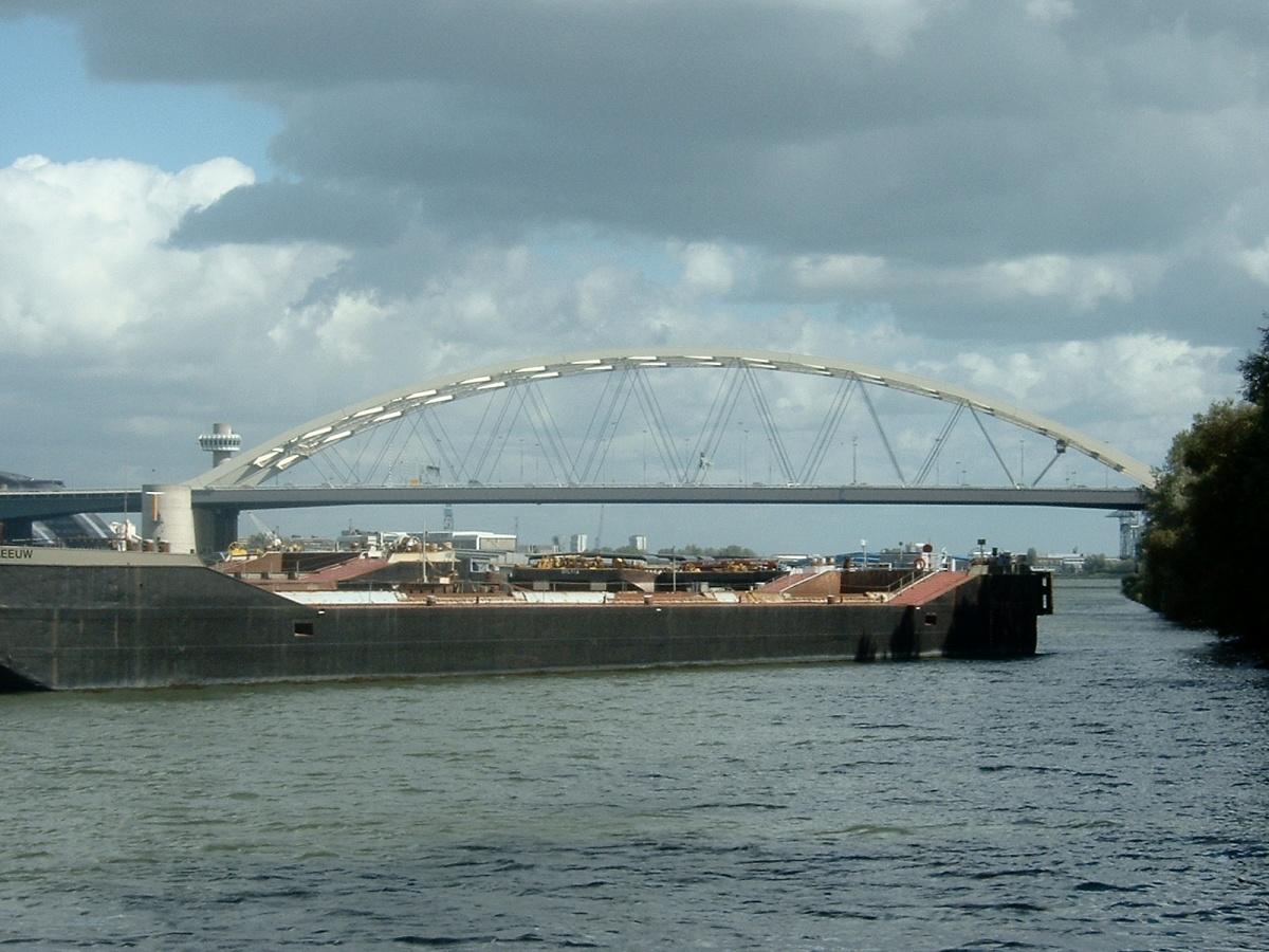
The Van Brienenoord Bridge is a prominent structure on the eastern side of Rotterdam, where the A16 motorway crosses the Nieuwe Maas river. The bridge consists of two parallel arch bridges with three bascule bridges extending from them. The eastern arch was opened in 1965, followed by the western arch in 1990. With twelve lanes and over 250,000 vehicles daily, it is one of the busiest bridges in the Netherlands.
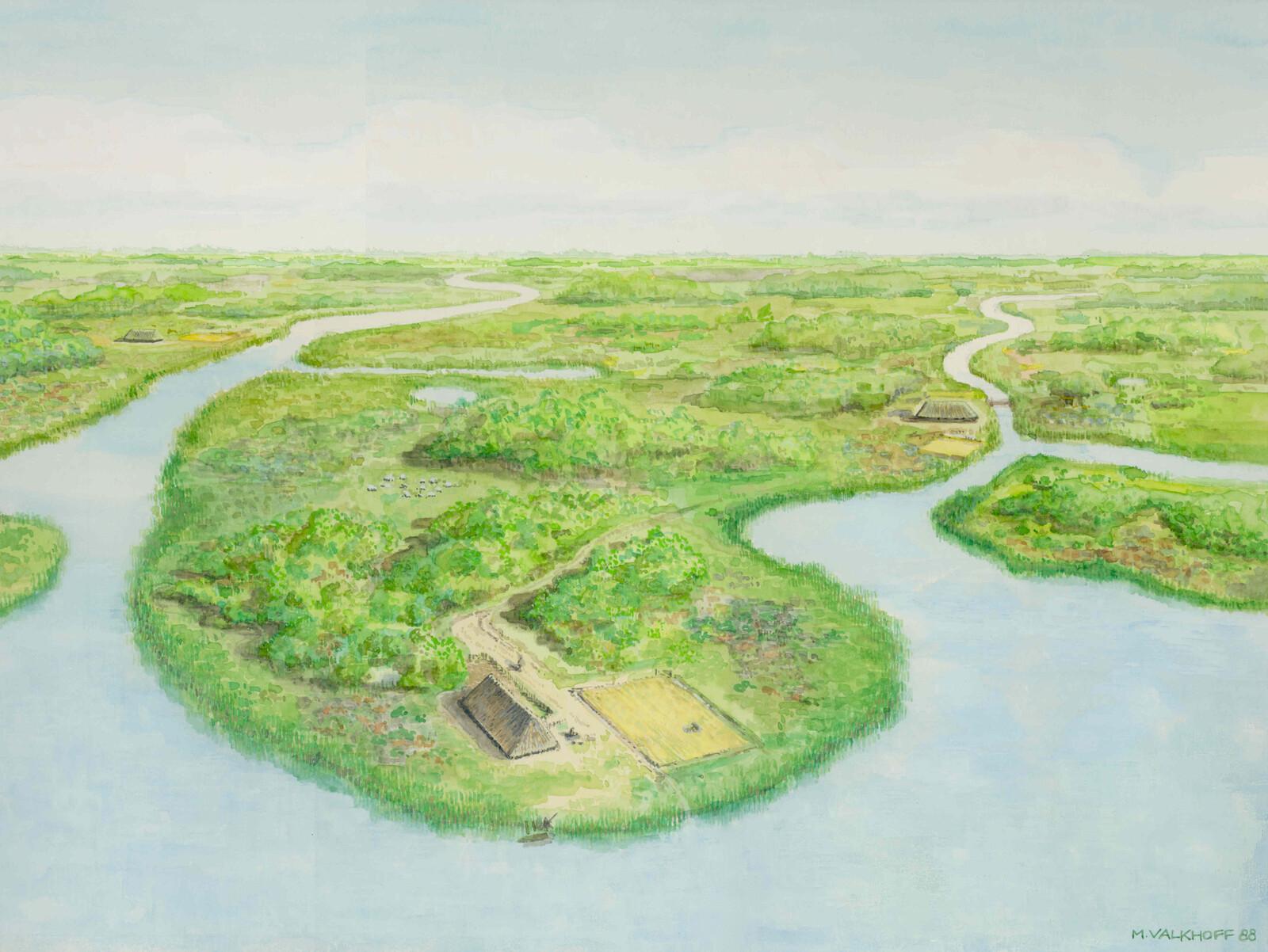
The original plan for the bridge dates back to the 1930s but was only realized after World War II. The bridge is named after the underlying Eiland van Brienenoord, which in turn was named after Baron Arnoud Willem van Brienen van de Groote Lindt. Designed by engineer W.J. van der Eb of Rijkswaterstaat, the bridge was revolutionary for its time, featuring a slender and transparent design.
In 1986, construction began on the second arch to double the bridge's capacity. This western arch was built in Zwijndrecht and transported over water to its location in 1989, an operation that attracted considerable public attention. Photos from that time show the enormous arch crossing the river on pontoons toward its final position. The second arch was commissioned on May 1, 1990.
The bridge is vital not only for road traffic but also for shipping. Approximately 150,000 ships pass under the bridge annually, with about 500 being too tall to pass under the closed bridge. For these vessels, the bascule bridges are opened, a process that takes about 18 minutes.
The Van Brienenoord Bridge is an essential part of Rotterdam's infrastructure and a city icon.
Sources. Story: Source Story: ['Source Story: https://nl.wikipedia.org/wiki/Van_Brienenoordbrug', 'Source Story: https://wederopbouwrotterdam.nl/actueel/van-brienenoordbrug-55-jaar-oud', 'Source Story: https://geschiedenislokaal010.nl/bronnen/bouw-tweede-van-brienenoordbrug', 'Source Story: https://streekarchiefijsselmonde.nl/het-eiland-van-brienenoord/'] Photos: Source Photo: Quistnix, CC BY-SA 3.0 <http://creativecommons.org/licenses/by-sa/3.0/>, via Wikimedia Commons