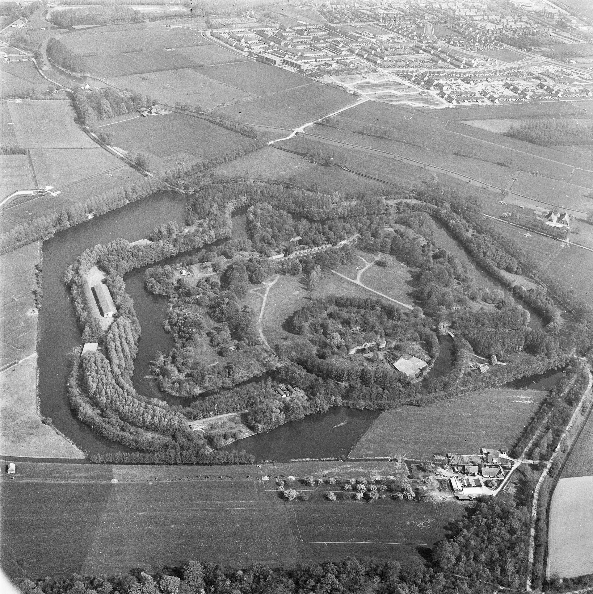
The New Dutch Waterline ran on a few decimetres of water.
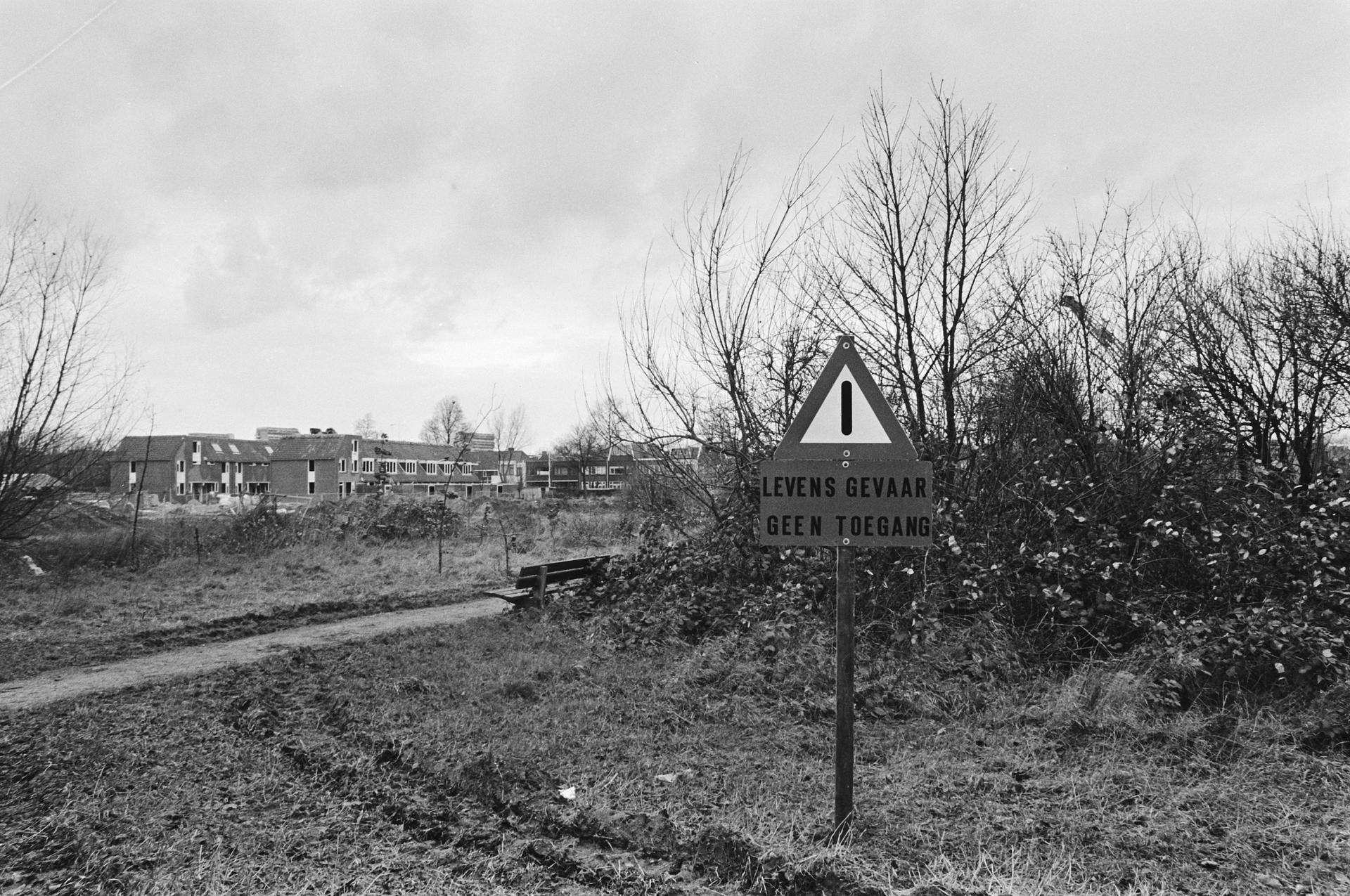
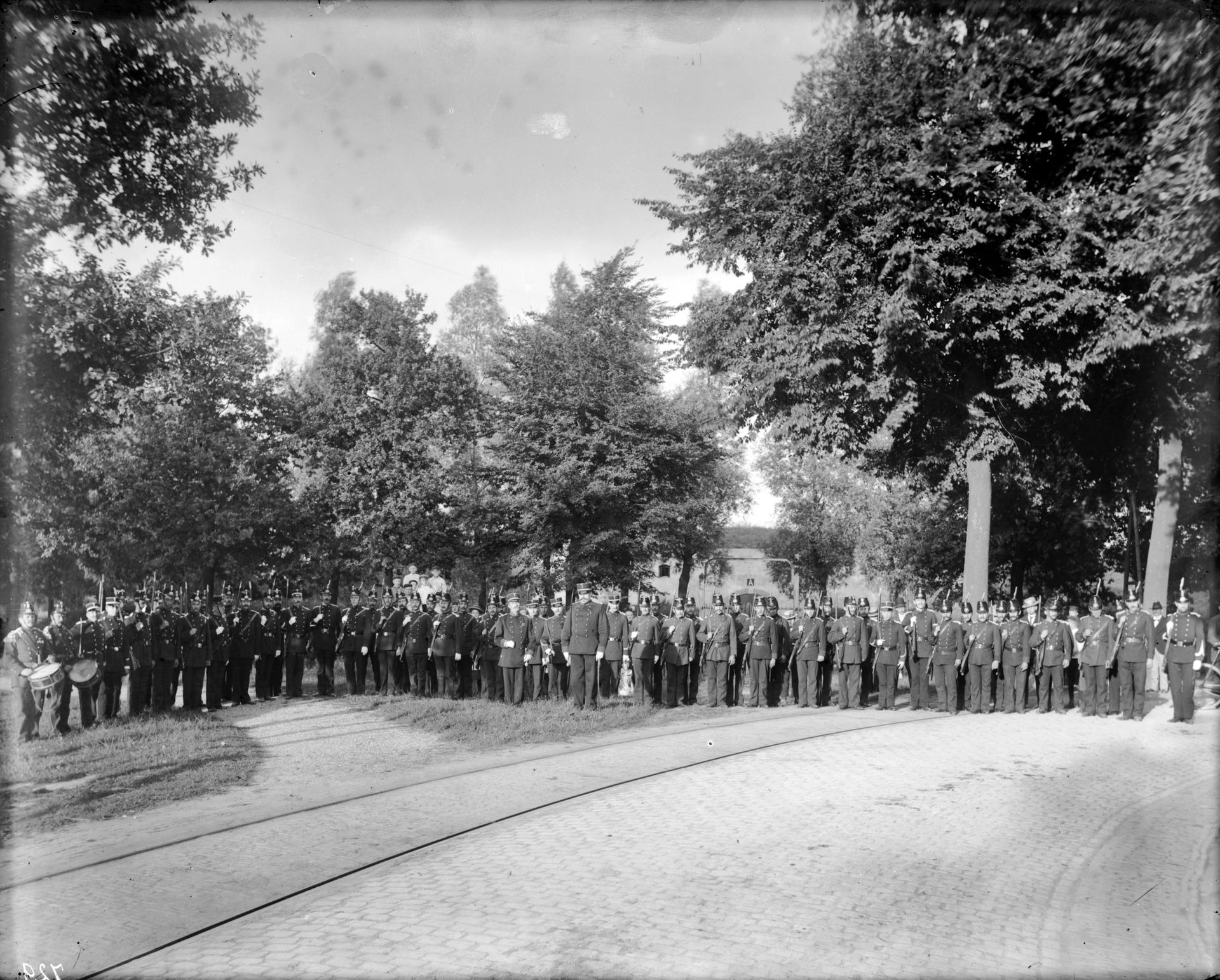
The idea was to flood a strip of land eighty-five kilometres long to a depth of roughly forty centimetres. Too deep to wade through, because ditches, drains and wells disappeared from view. Too shallow to sail across. Anyone who wanted through had to take the roads and dykes, and that is where the forts were waiting.
Flooding took time. Around Utrecht it took close to a month, which was too long. From 1870 the was turned into the tap: the river was widened, bends were cut off, and an inundation lock was built at . After that the area could be put under water in four to twelve days.
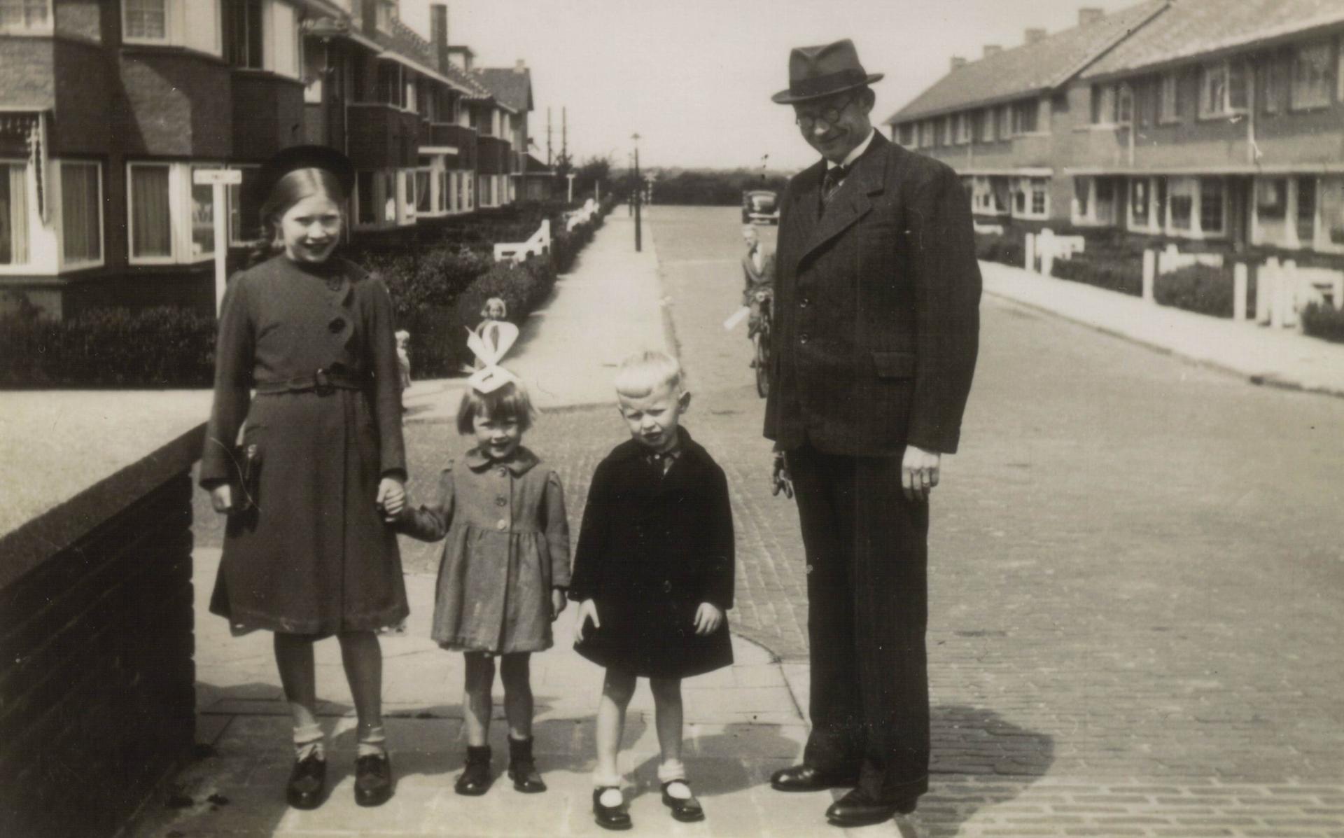
Above water the line was just as visible. From 1853 the Kringenwet ruled that within a set distance of a fort you could build only in wood, on a stone footing about a foot high, so everything could be flattened quickly when the alarm came. Those wooden houses are still standing. The law lasted until the nineteen-sixties, and in 2021 the line was added to the UNESCO World Heritage list.
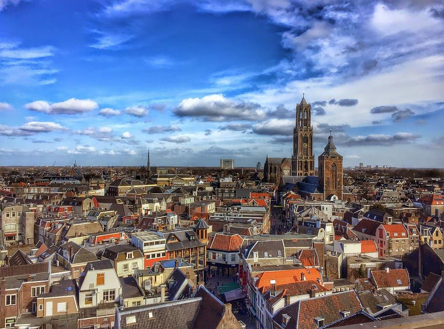
Curious how the city sat inside that line? Walk one of our routes through Utrecht.
Sources. Story: Cultural Heritage Agency of the Netherlands, monuments register, on the Kringenwet (1853-1963) and the wooden buildings in the forbidden circles; water authority De Stichtse Rijnlanden on the Kromme Rijn as the inundation tap from 1870; summary of the UNESCO nomination of the Dutch Water Defence Lines (85 kilometres, 96 forts, inscribed 2021); Nieuwe Hollandse Waterlinie core qualities, on the flooding depth. Photos: Source photo: Door Rijksdienst voor het Cultureel Erfgoed, CC BY-SA 4.0, https://commons.wikimedia.org/w/index.php?curid=23447277