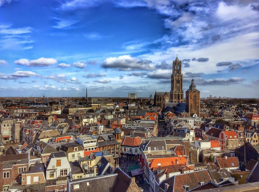
You are back on the square where the castle stood.
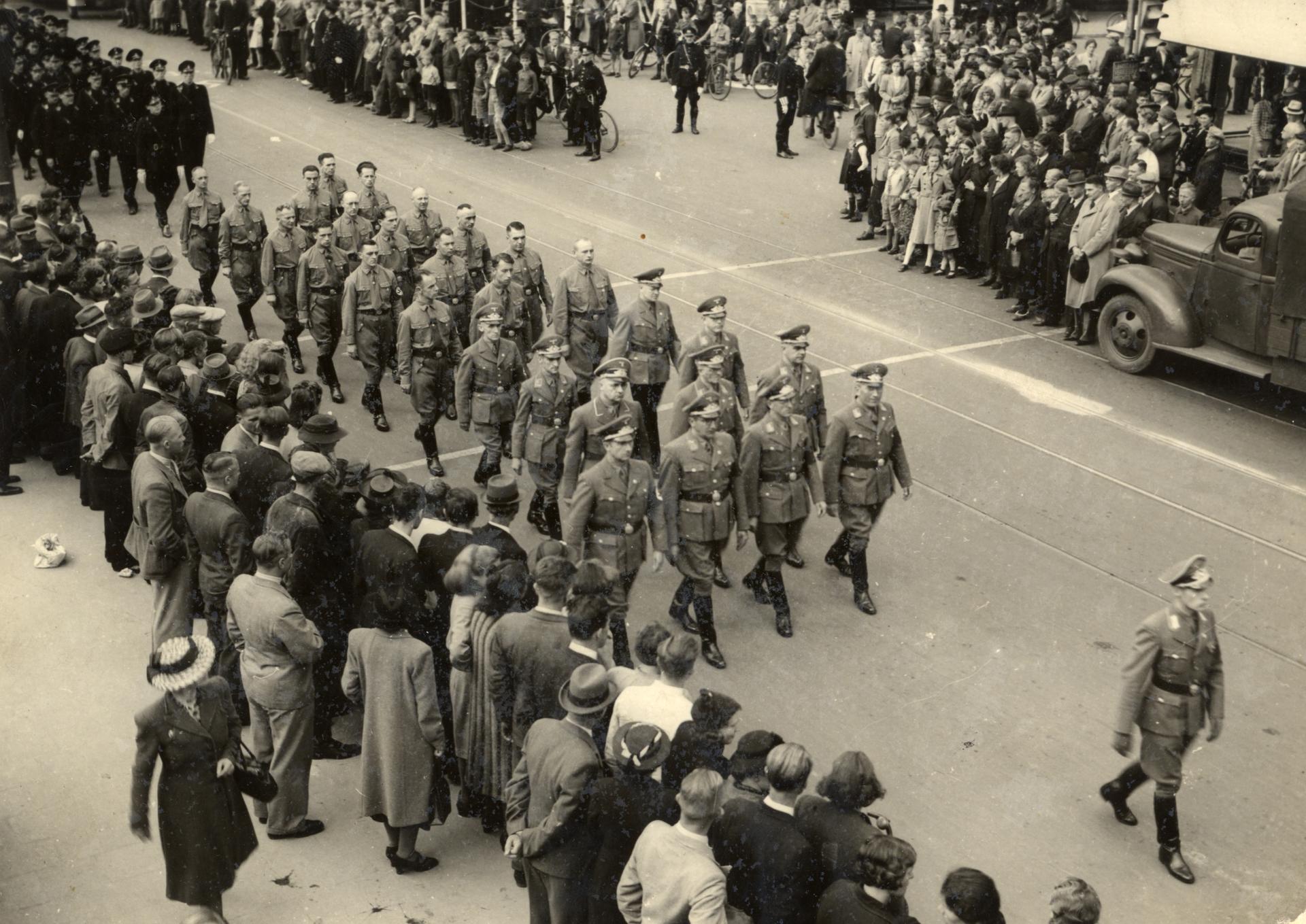
Utrecht came through the Second World War without a bombardment, and got five years of tightening measures instead. The headquarters of the stood on the Maliebaan, which left the city a reputation it has never entirely shaken off. For the Jewish residents of Utrecht the restrictions began early in the occupation, for the rest of the city it only became fully visible in the third year.
Then came the , in which people here too died of cold and want.
On the seventh of May 1945 the liberators drove into the city along the Biltstraat. They were Canadian units, led in by , and a monument to that division now stands on the same street.
On this square there was dancing that day. On the ground where an emperor once placed a fortress to keep this city in check, young women were swinging each other round because the last occupier had gone.
Sources. Story: Het Utrechts Archief; RTV Utrecht (bevrijdingsfoto 7 mei 1945); Library and Archives Canada; Canon van Utrecht Photos: Source photo: Het Utrechts Archief