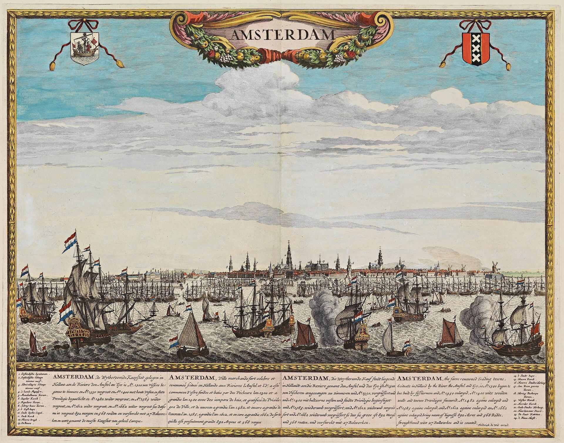
The Damrak was once water. Around 1270 the first settlers built a across the , which is where the city got its name, and on the northern side of it lay the harbour: the rak that opened onto the IJ, where ships moored with herring, grain and beer. A rak is a straight stretch of water joining two others, and the one on the far side of the dam was called the .
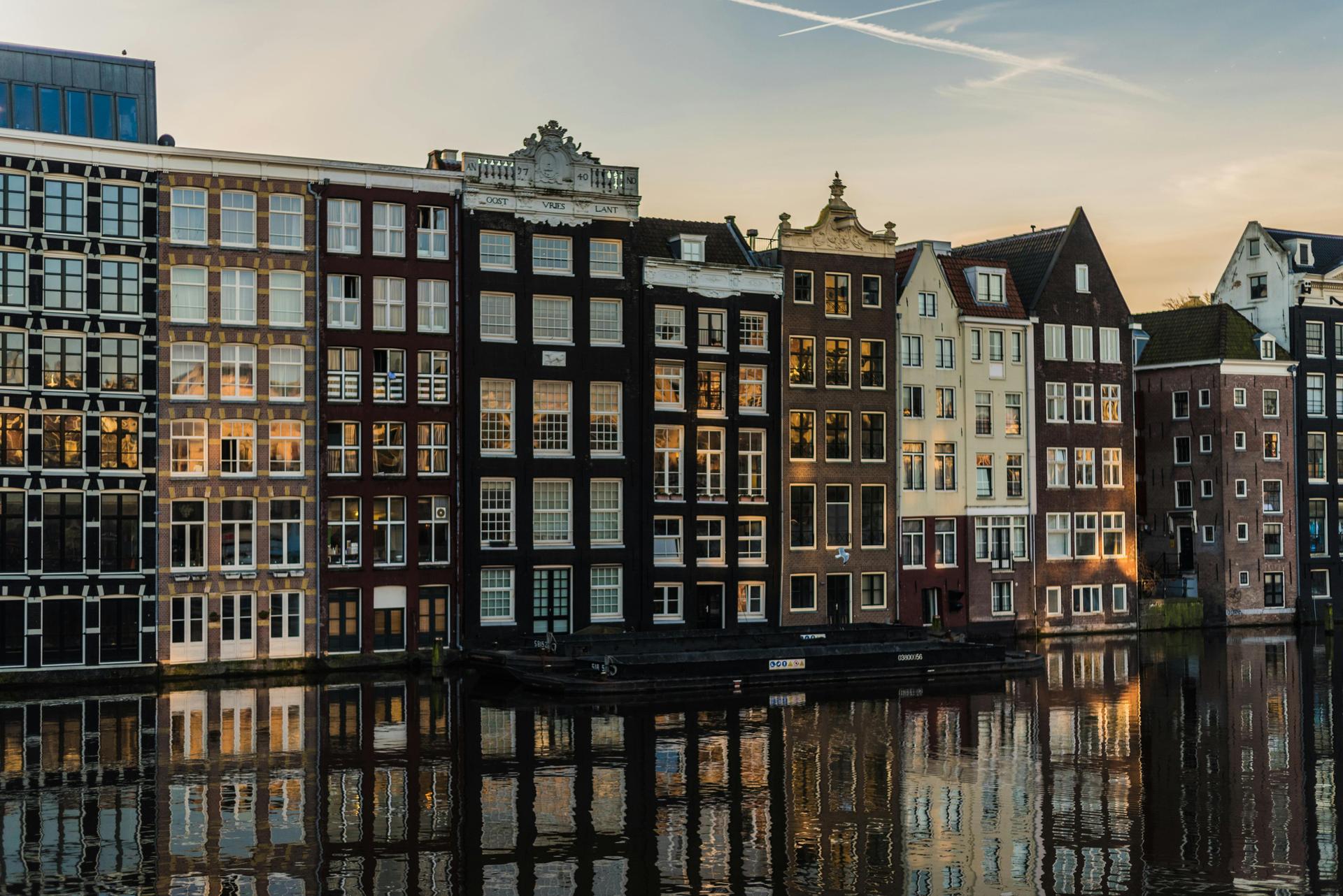
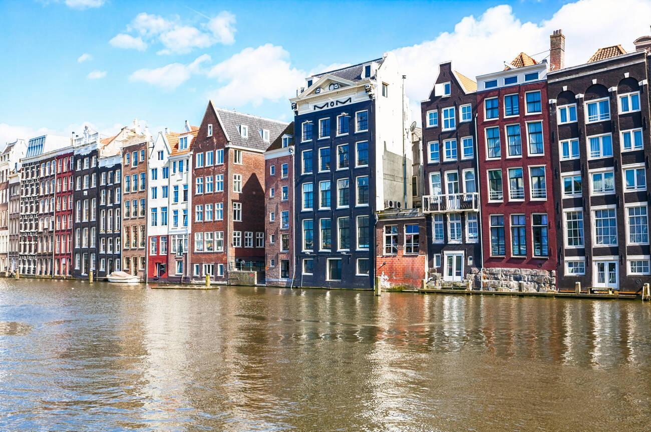
When Central Station rose on artificial islands in the IJ at the end of the nineteenth century, the city lost its open link to the water and most of the Damrak was filled in. In old photographs the houses here still stand at the quayside with masts between them.
What came in its place is the busiest entrance to the city, lined with shops, exchange offices and hotels. The newspaper Het Parool recorded that many Amsterdammers consider this the ugliest spot in their city.
Sources. Story: Stadsarchief Amsterdam, Damrak. https://archief.amsterdam Wikipedia, Damrak. https://nl.wikipedia.org/wiki/Damrak Photos: Stadsarchief Amsterdam