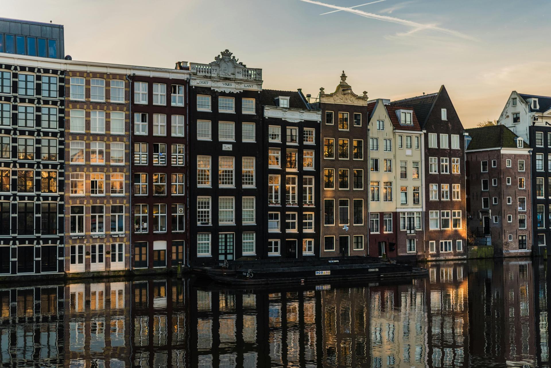
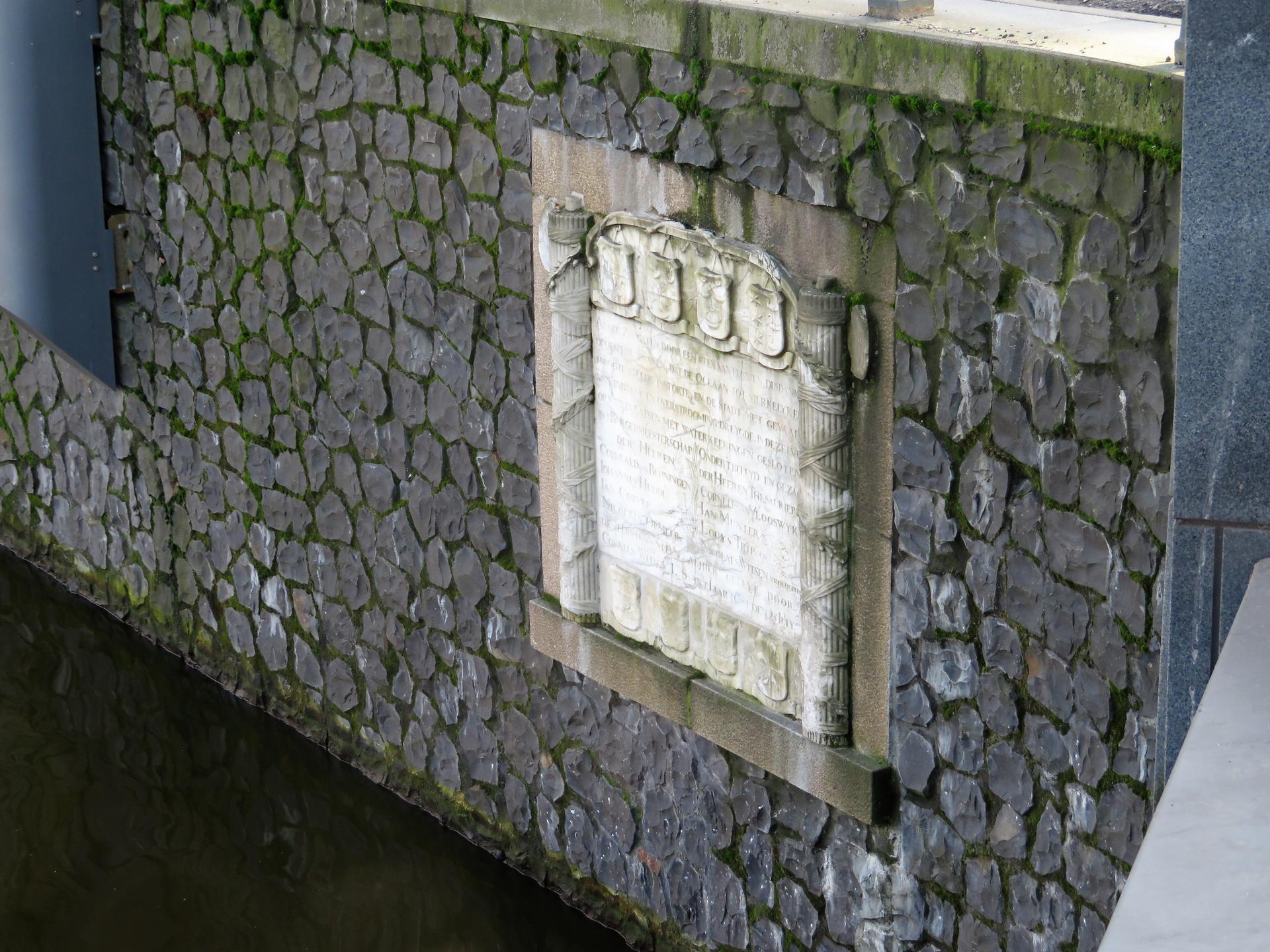
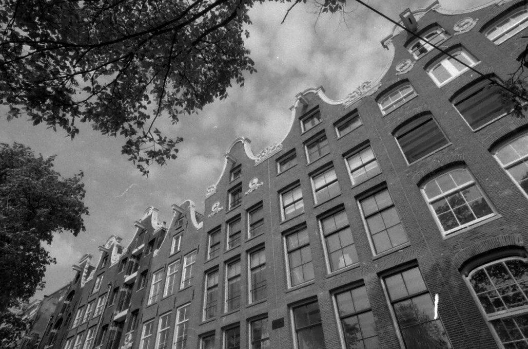
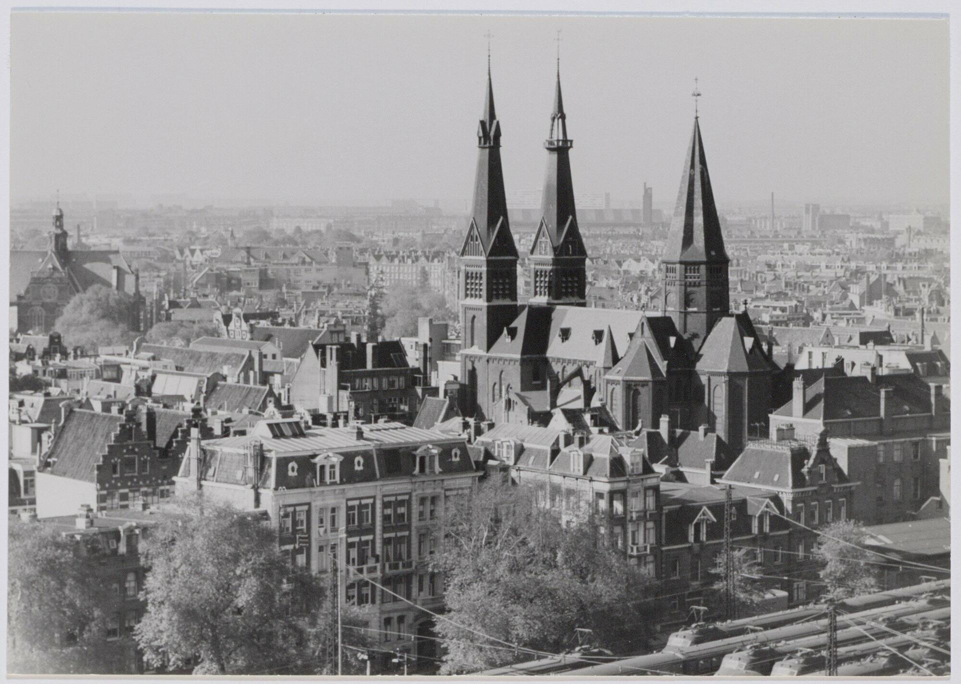
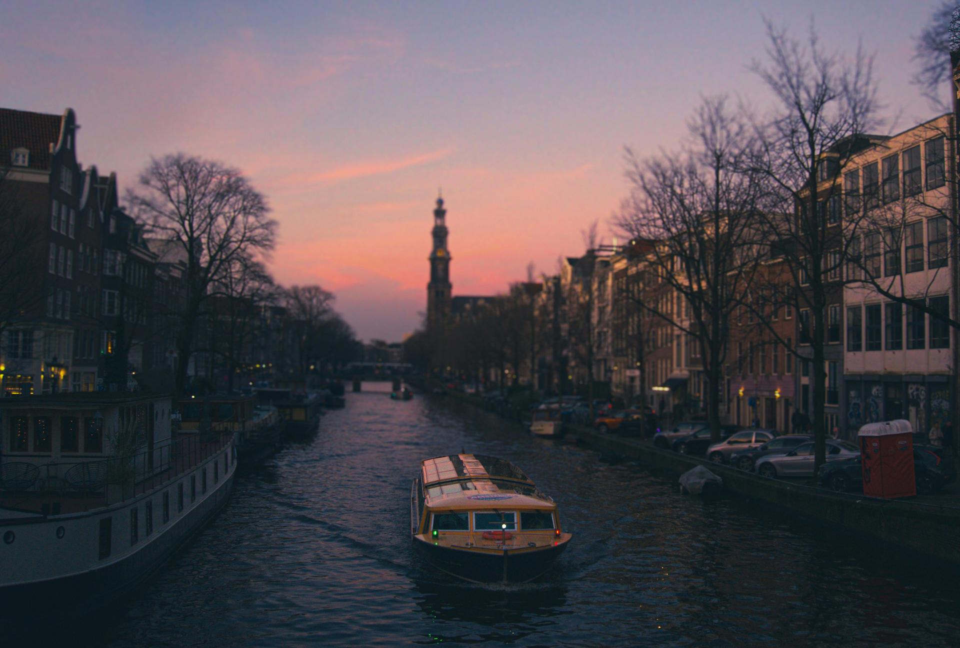
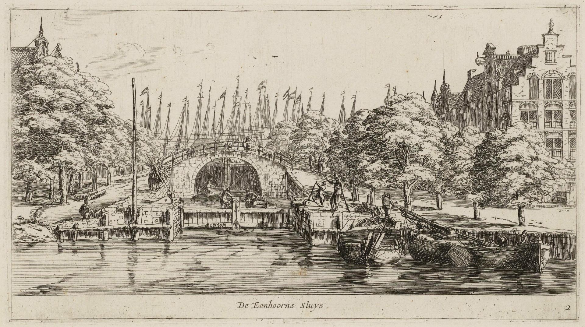
At the corner where the begins lies a lock that once held back salt water. The Eenhoornsluis is one of the sixteen locks Amsterdam laid around itself in the seventeenth century, and it owes its name to the brewery De Eenhoorn that stood close by, in the quarter of the brewers that the Brouwersgracht is still named after.
The locks did two jobs at once, holding the water in the canals at the right level and keeping the out. You can still see that second job in the doors, which stand higher on the outer side than on the city side. That extra height was meant for storms from the north-west and for spring tides, and it showed how necessary it was, when the water came over the land around Amsterdam.
That flood settled the case for the , begun in 1927 and finished in the thirties. The dyke cut the Zuiderzee off from the North Sea, and with that this lock lost its work as a sea lock.
What remains is a passage for small boats, with doors that still stand ready for a sea now held at a distance.
Sources. Photos: Amsterdam City Archives