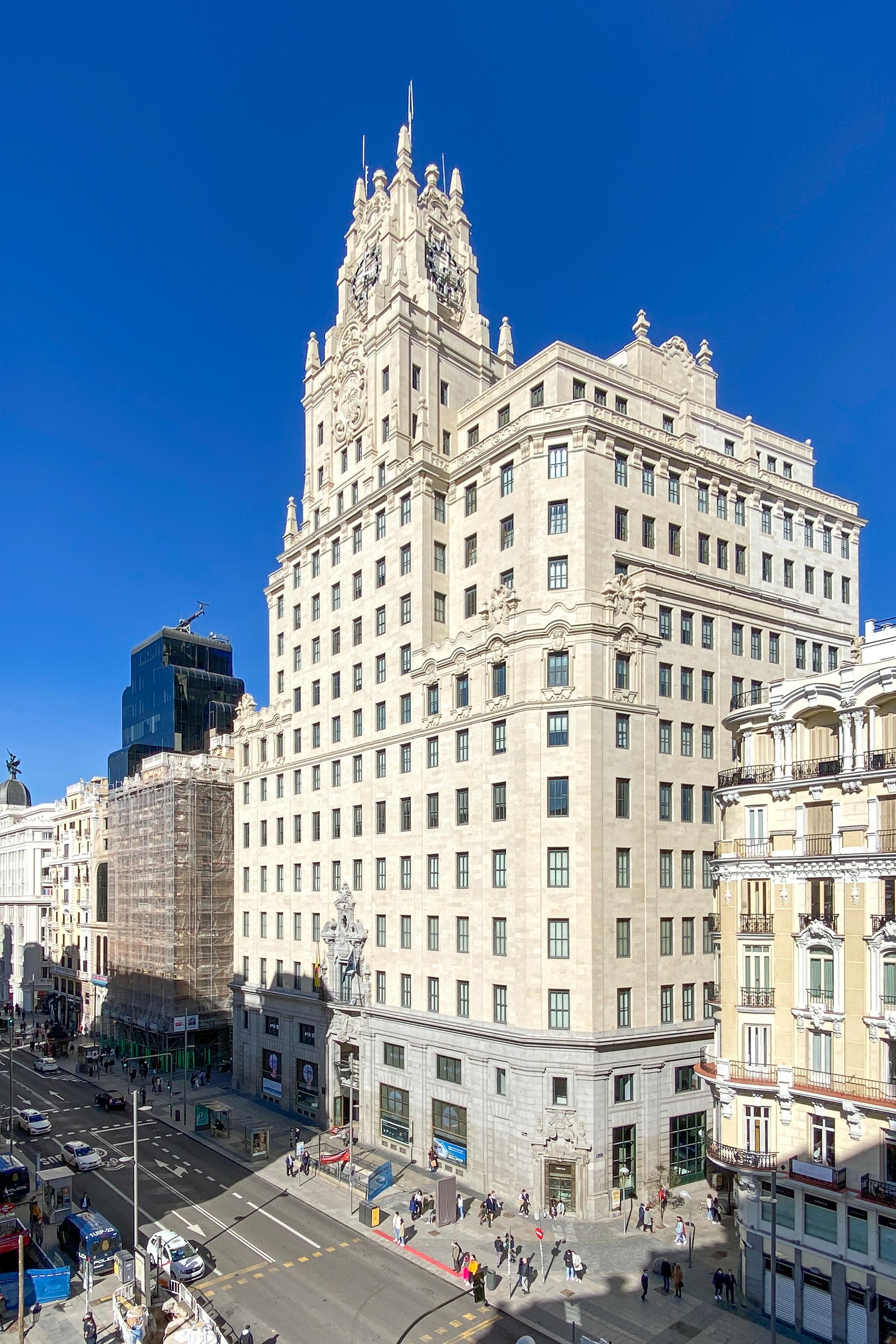
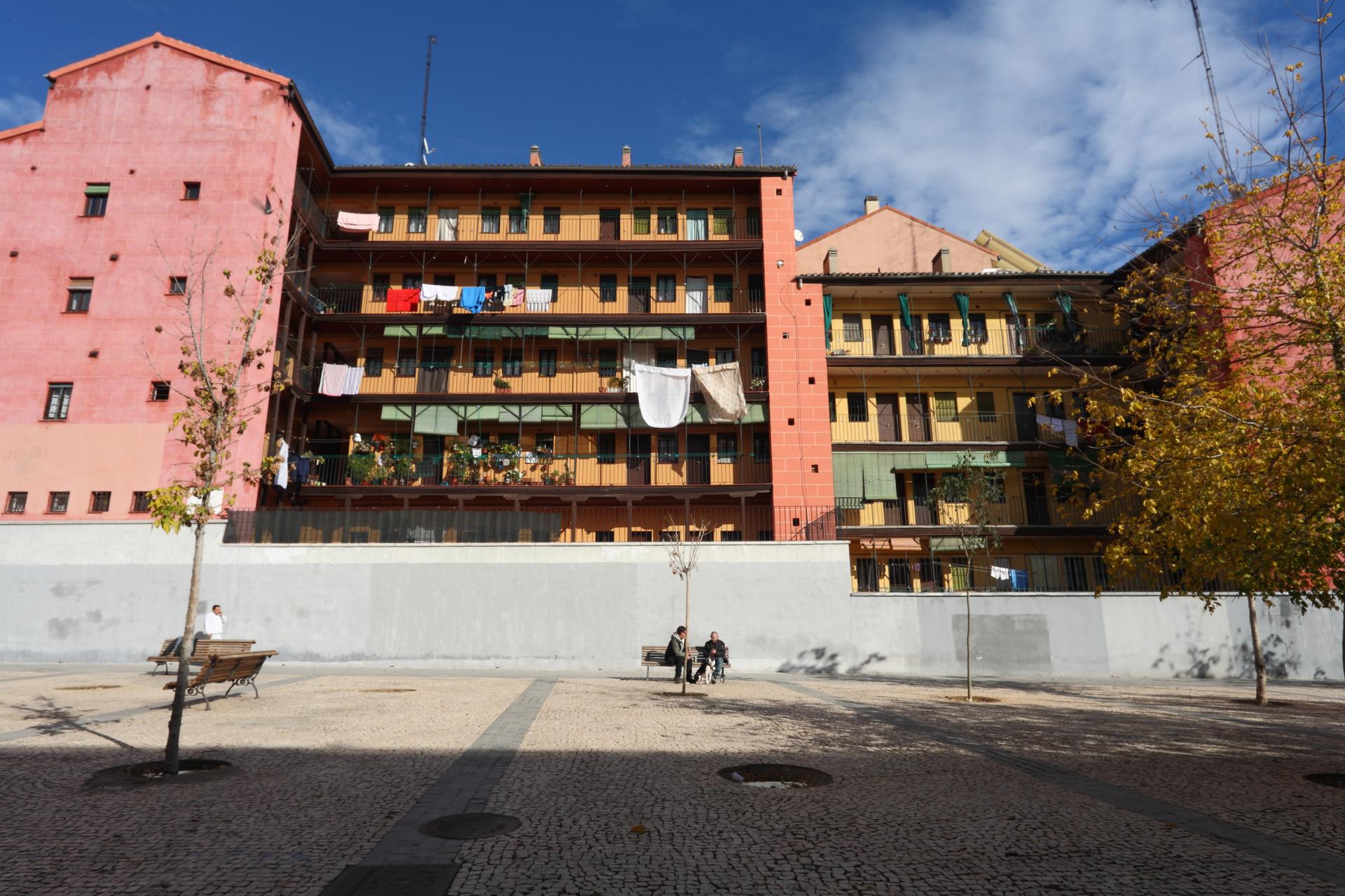
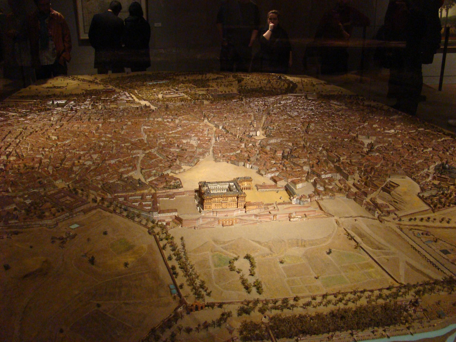
Where you now look out over the , in 1808 there was a tangle of narrow streets running all the way to the northern edge of the city, and a century after that part of the battlefield disappeared beneath a new street. It was in those very alleys that the neighbourhood bands gathered that morning.
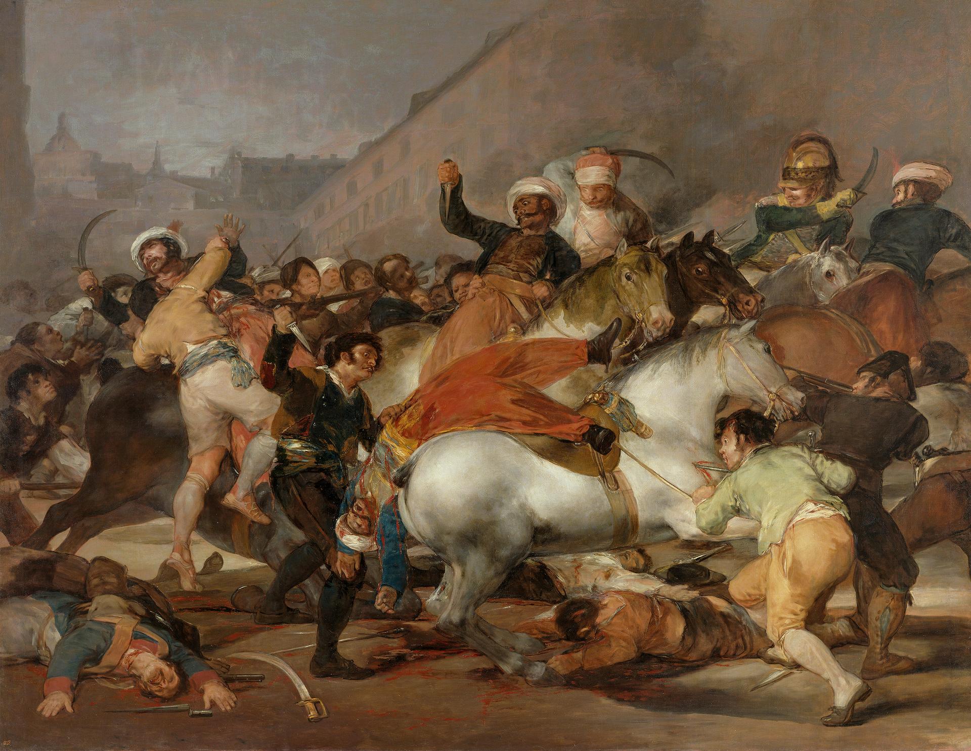
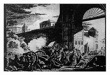
Here is how it went: the uprising had no leadership, no plan and no general, and in one district after another people formed , clusters of neighbours following whoever shouted loudest at that moment, trying to seize the city gates and keep French reinforcements out. It failed, because most of troops were already inside and working their way from the edges towards the centre.
From here the Calle de Fuencarral runs dead straight to the north, towards the only barracks in Madrid where fighting actually broke out that day, and the way the Gran Vía swallowed fourteen streets is a story in itself that belongs to our other walk through the city.
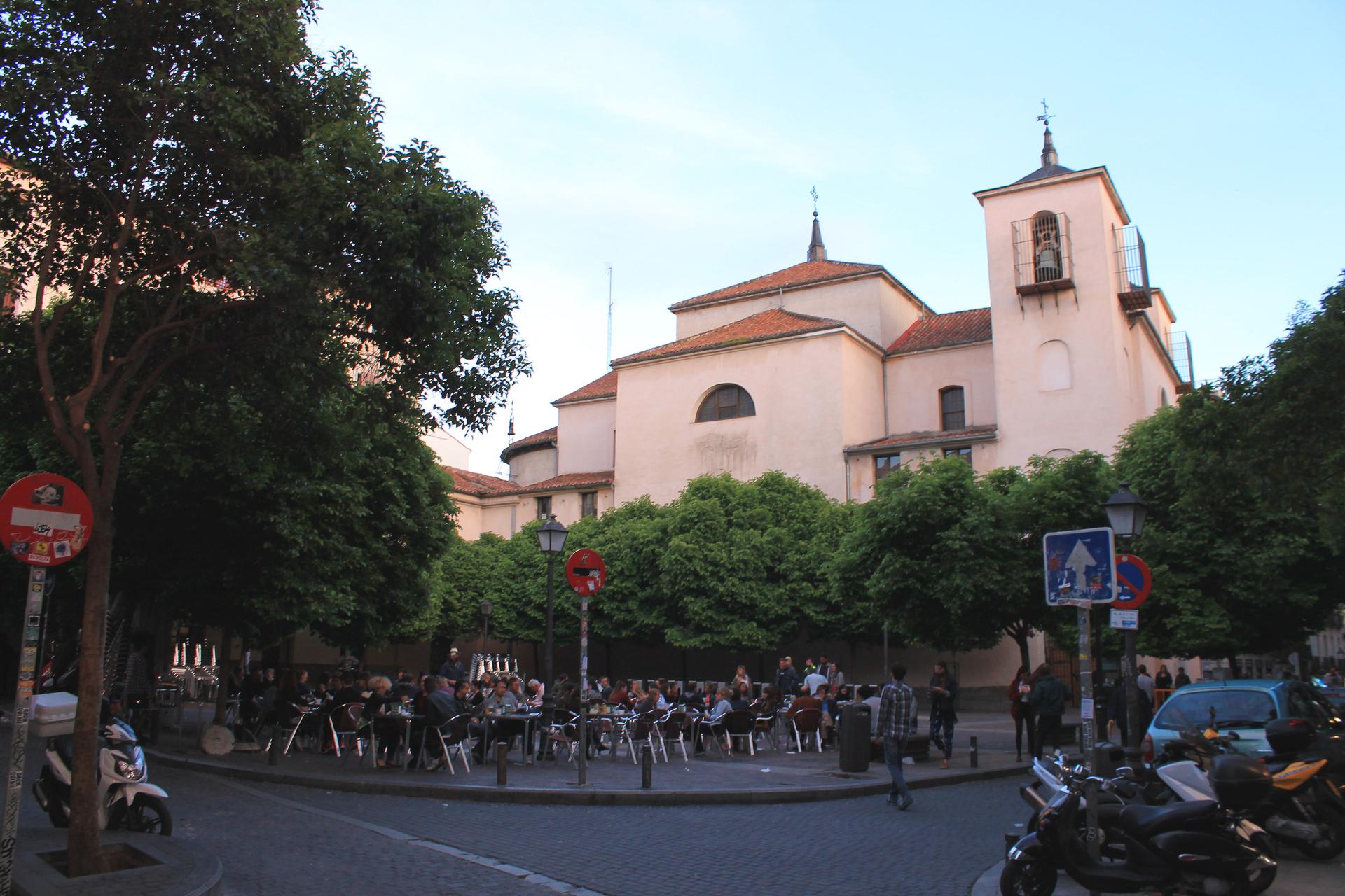
We follow the Calle de Fuencarral north, until the Plaza de San Ildefonso opens up on the left.
Sources. Story: Hispanopedia, Levantamiento del 2 de Mayo; Ayuntamiento de Madrid, Madrid 1808. Ciudad y protagonistas, 2008. Photos: León Gil de Palacio, scale model of Madrid, 1830, Museo de Historia de Madrid; photo CC BY-SA 2.0 via Wikimedia Commons.