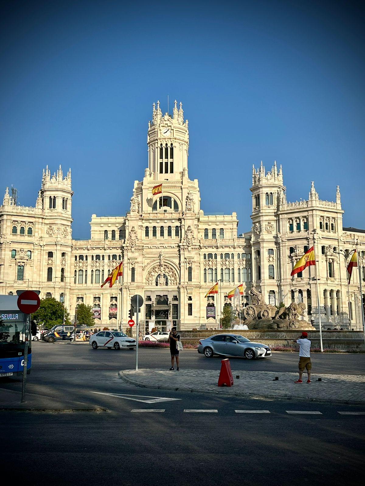
AUDIO TOURS IN MADRID
A capital that owes its position to a signature, where other capitals have a river or a harbour. Philip II moved his court here in 1561 to a town that had little going for it, and Madrid has been inventing itself ever since. Eight walking routes take you through what came of that, from the square where power showed itself to the city to the neighbourhood that has always lived most tightly packed together.
Start ExploringA Short History of Madrid
A capital by decision
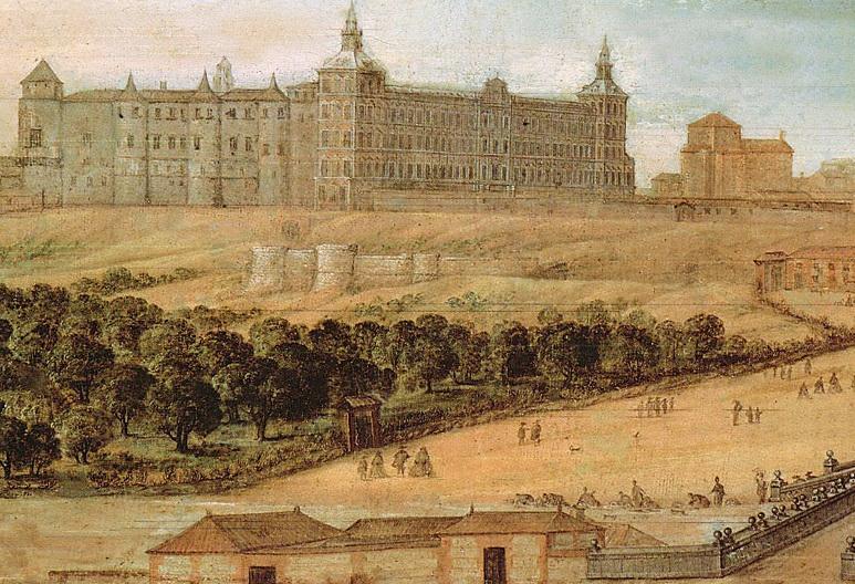
Seventeenth-century view of the Real Alcázar de Madrid, public domain via Wikimedia Commons.
The city of the Habsburgs
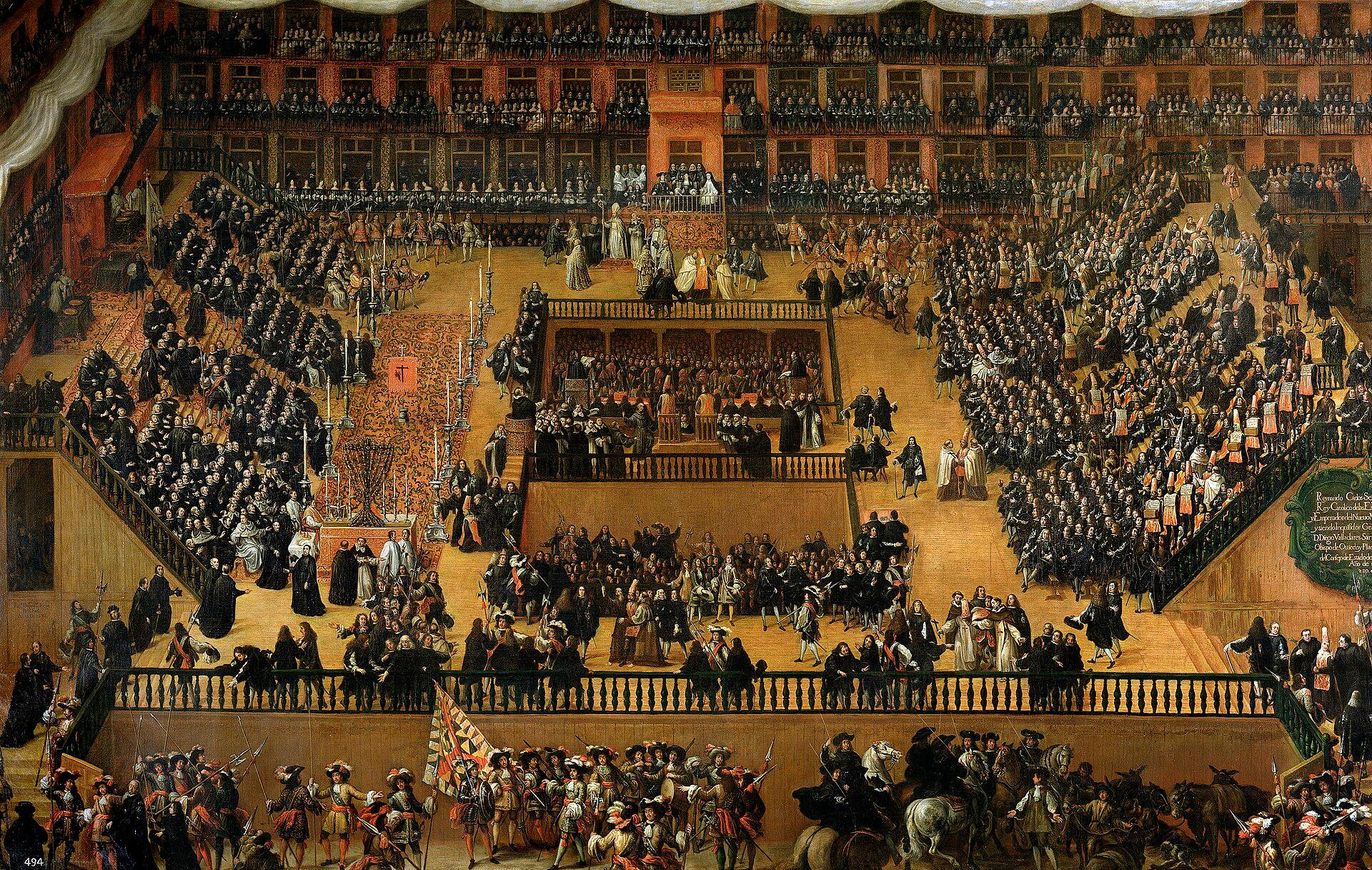
Francisco Rizi, Auto de fe en la Plaza Mayor de Madrid, 1683, Museo Nacional del Prado, public domain via Wikimedia Commons.
The enlightened king
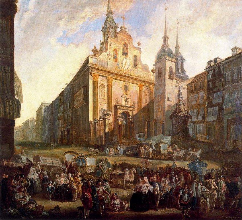
Luis Paret y Alcázar, La Puerta del Sol en Madrid, 1773, Museo Nacional de Bellas Artes, Havana, public domain via Wikimedia Commons.
The second of May
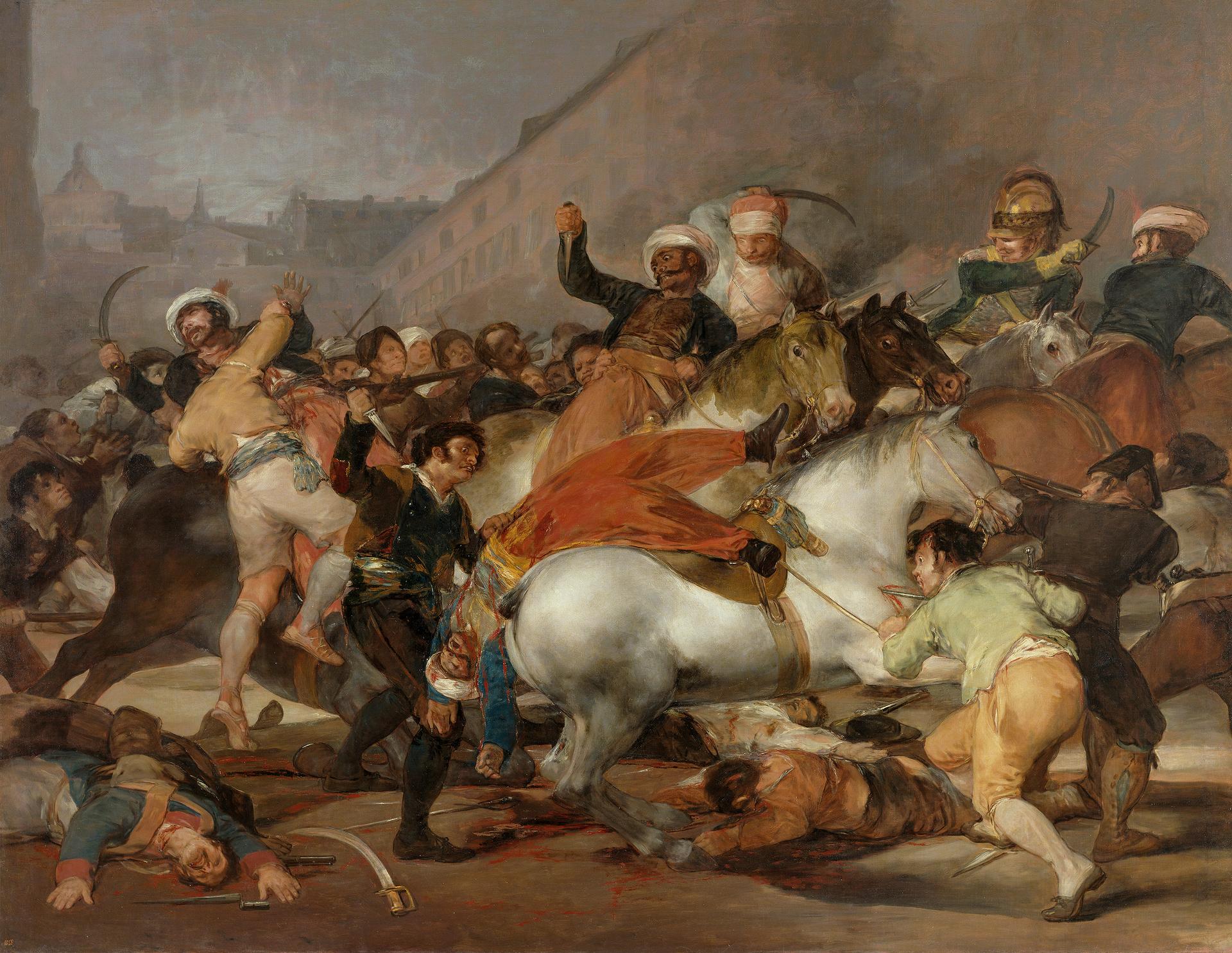
Francisco de Goya, El 2 de mayo de 1808 en Madrid o La lucha con los mamelucos, 1814, Museo Nacional del Prado, public domain via Wikimedia Commons.
The besieged city
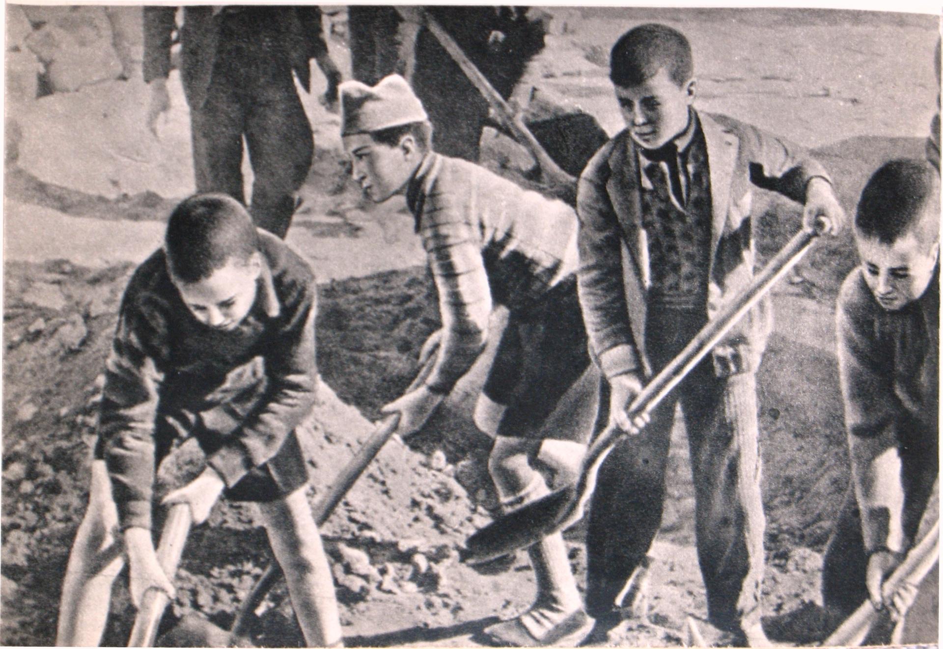
Mikhail Koltsov, children at the defensive works in Madrid, 4 November 1936, public domain via Wikimedia Commons.
The street that cut through
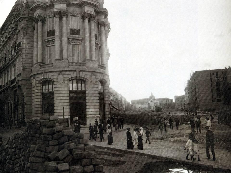
Demolition for the construction of the Gran Vía, 1912, public domain via Wikimedia Commons.
Walking routes through Madrid
Each route is a loop of around three kilometres, told stop by stop, with the whole story out on the street and the map in your hand.
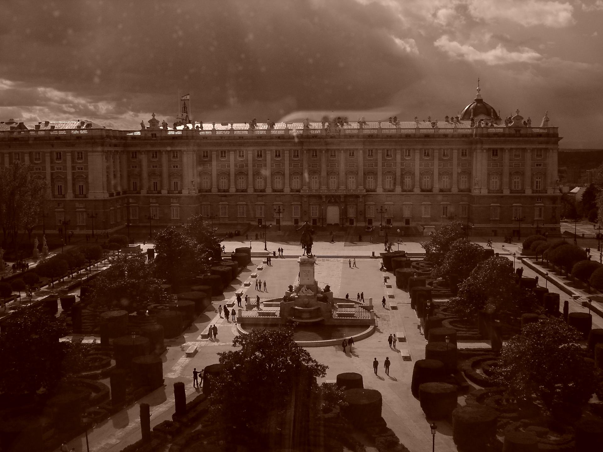
The places behind the stories
Every stop on our map of Madrid has its own story — 88 of them. Read them here, or hear them where they happened.