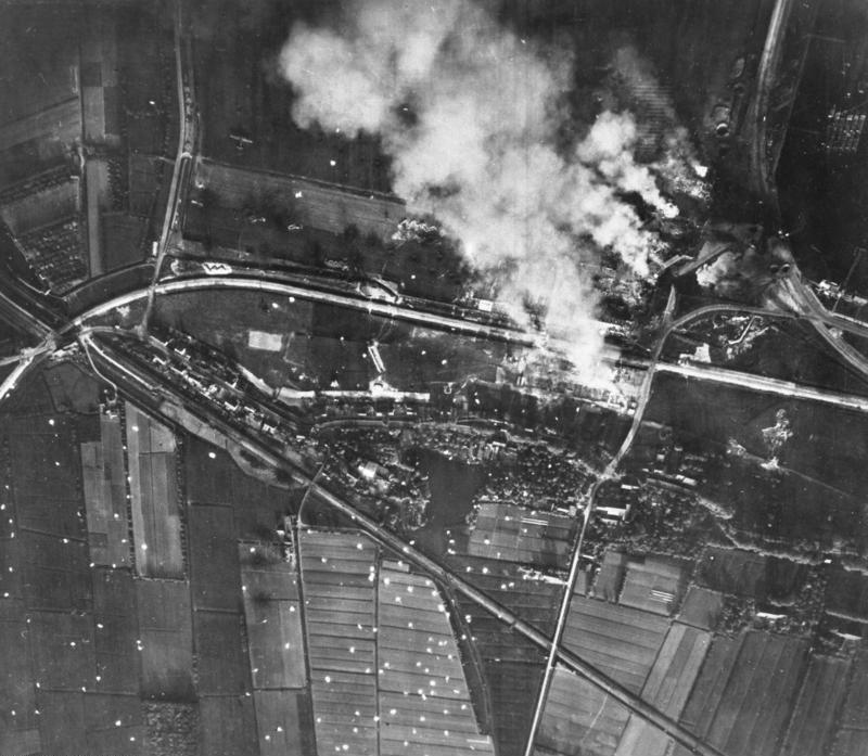
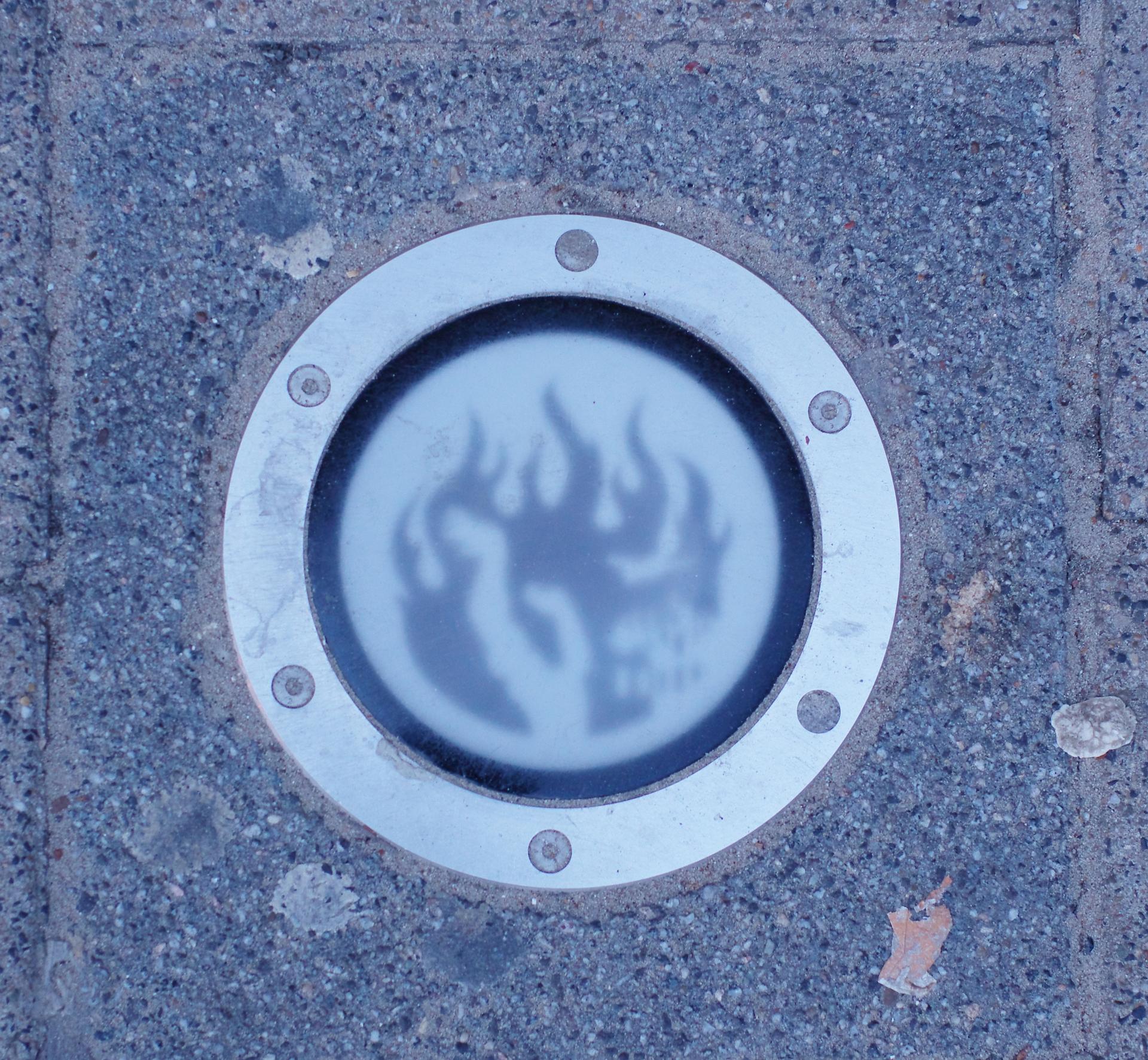
Beneath your feet are small, circular lights forming the Brandgrens – the Fire Boundary – a once-invisible line made visible. Here, on May 14, 1940, old Rotterdam came to an end. In just fifteen minutes, a German bombing raid reduced the city center to smoldering rubble.
The red lights mark areas hit by German bombs. The green lights, on Noordereiland, refer to damage caused by Allied bombardments. A total of 385 lights span a twelve-kilometer route. Each features a stylized flame – a subtle yet powerful symbol of what happened here.
At six locations along the route, black granite stones share the story of the day the city changed forever. Not in grand language, but in simple words – just like the Rotterdammers themselves: practical, resilient, forward-looking.
Sources. Story: Source Story: ['Source Story: https://www.west8.com/projects/brandgrens-rotterdam/', 'https://www.bkor.nl/beeld/brandgrens/', 'https://www.dutchdesignawards.nl/en/gallery/permanent-marking-of-the-brandgrens-rotterdam/'] Photos: Source Photo: Door smial - Eigen werk, FAL, https://commons.wikimedia.org/w/index.php?curid=54885622