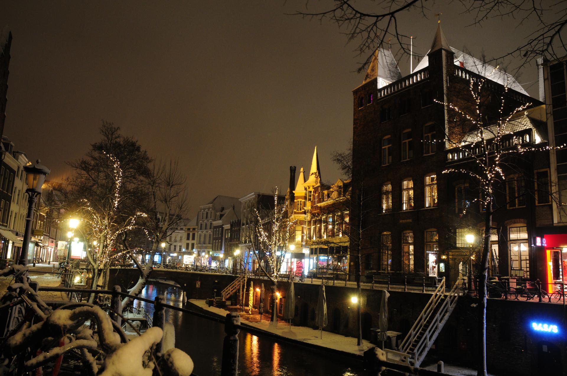
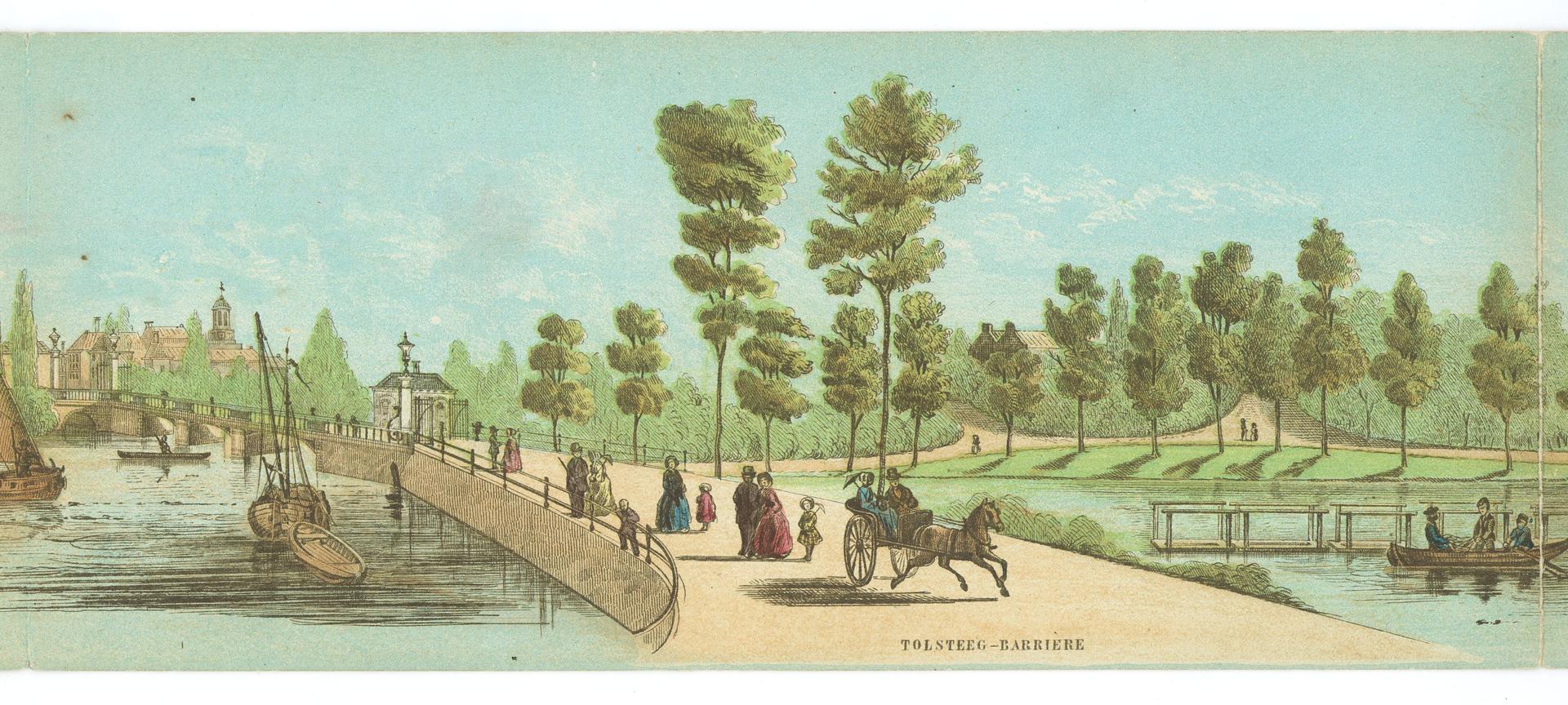
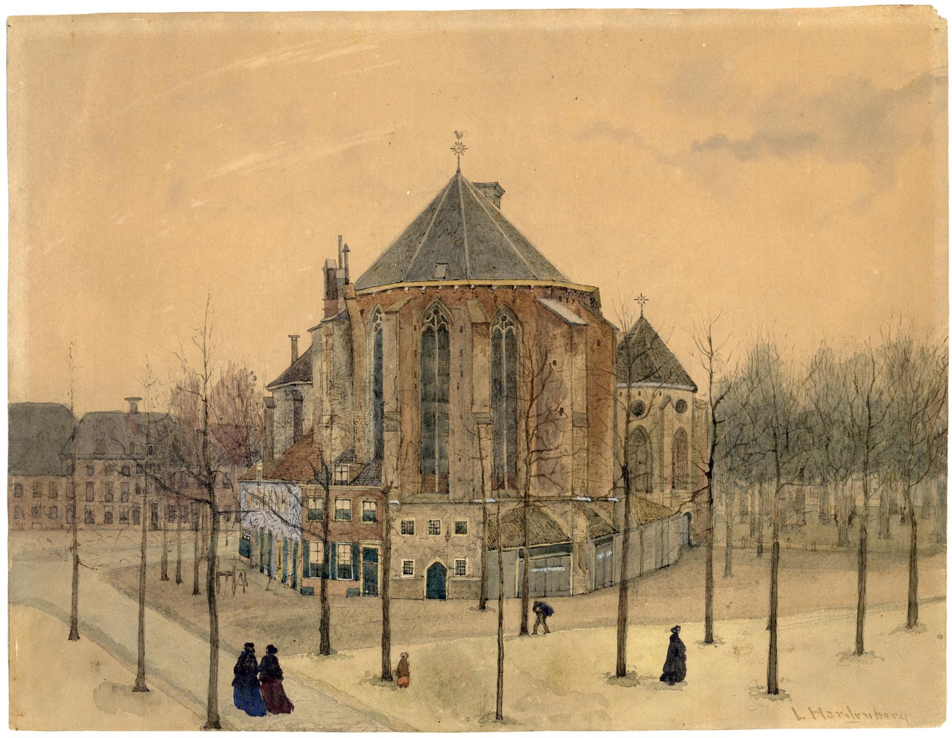
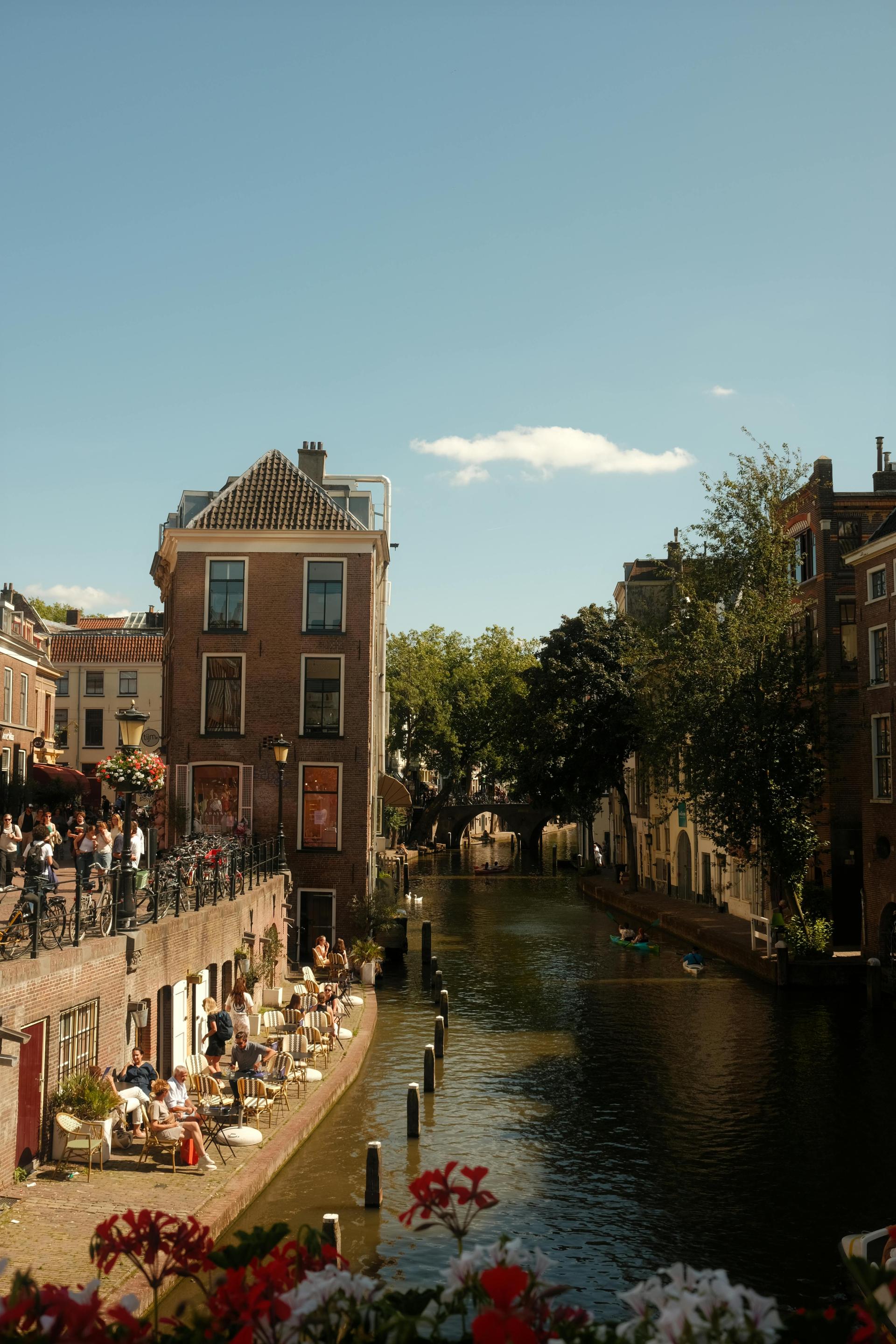
, and thousands of soldiers needed somewhere to sleep. To arrange the billeting, every house in the city was counted and numbered. The district names were unpronounceable to the French, so each district was given a letter instead. Handvoetboog, Bloedkuil, Turkije, Pekstokken and Zwarte Knechten vanished from the map.
Once the French had gone, the old names came back. All except one. Handvoetboog stayed Wijk C, and more than two centuries later the neighbourhood still goes by that letter.
It was the most crowded district in town. Around 1866 close to eight thousand people lived here, in a city of some fifty-eight thousand. When cholera broke out that year, the clearances began. Slums came down and residents moved on. By the mid-nineteen-fifties about fifteen hundred were left, and the plans kept coming: new roads, offices, and later the Catharijnebaan beneath the shopping centre.
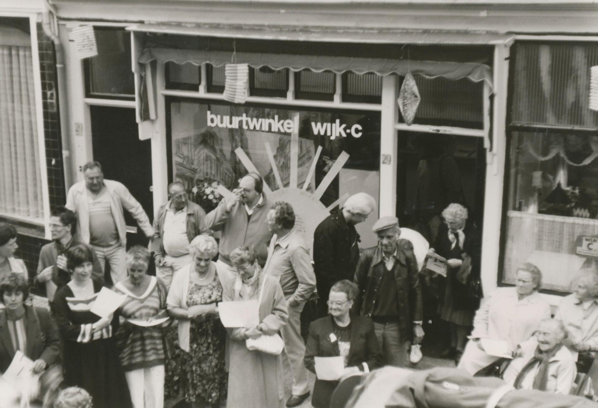
In 1974 residents founded the Wijk C Komitee, campaigning to stop the demolition. Twelve years of protest turned planned office blocks into housing. A stone set into a wall on the Willemstraat in 1987 says the heart beats on.
Fancy walking further? We have walking routes through Utrecht ready to go, with stories like this one along the way.
Sources. Story: Oud-Utrecht on district names and house numbering in Utrecht (French lettering from 1795); Volksbuurtmuseum Wijk C on the Wijk C Komitee (1974); DUIC on the clearance of Wijk C; memorial stone Willemstraat 29 (1987); Het Utrechts Archief. Photos: Source photo: Wijk C Komitee (Comité), fotograaf, Utrechts Archief