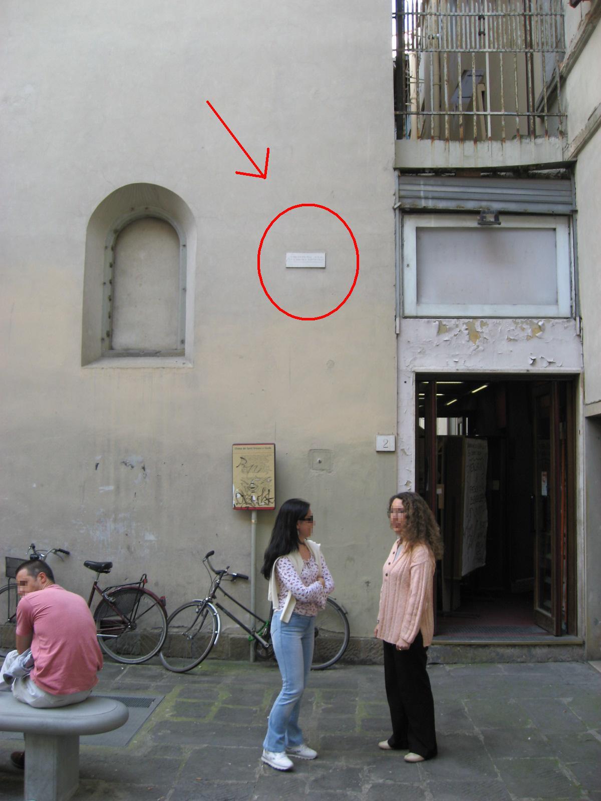
In some spots on this square the water stood more than six metres deep. That reaches above the first floor of the houses around you, and it's the highest level measured anywhere in the city.
It comes down to where we're standing. This corner of the centre sits lower than anywhere else, so further along came looking for its way here. The streets around it were also home to the poorest Florentines, living in basements and on ground floors beside the workshops of shoemakers, frame makers and leatherworkers who kept their stock piled on the floor.
This is where the blow landed hardest. People sleeping at street level had nowhere to go, and hundreds of small businesses lost their tools, their stock and their order books in a single night. Some of those families moved out to the suburbs afterwards and never came back.
holds , and that's where our next stop is waiting.
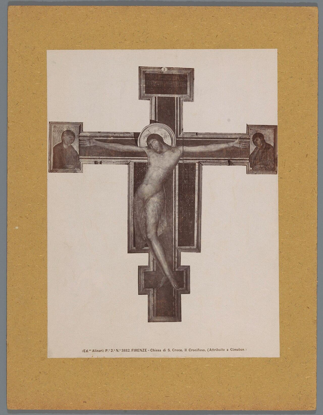
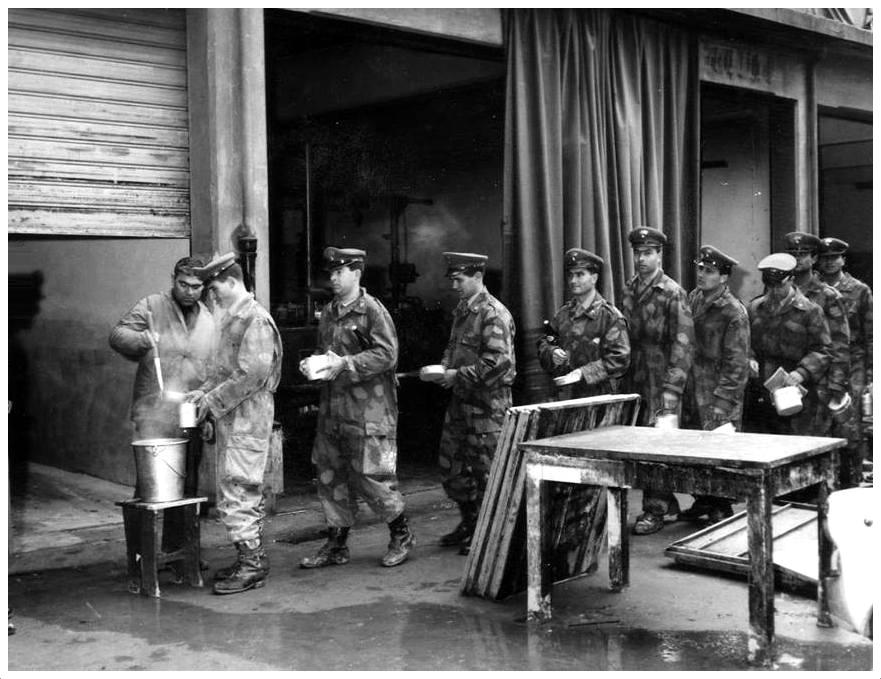
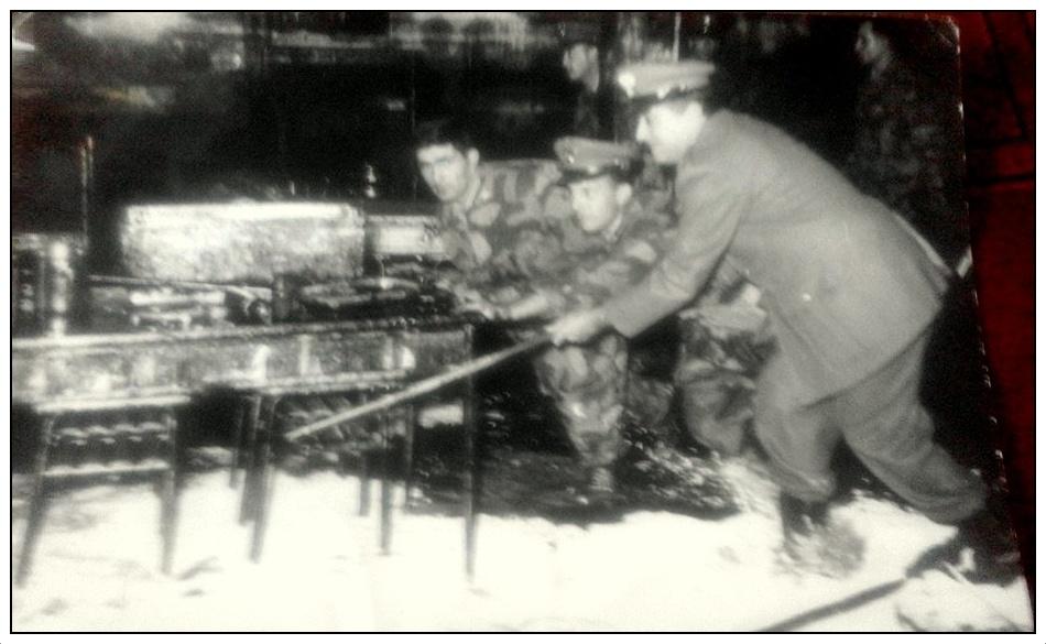
Sources. Story: Comune di Firenze (alluvione del 1966, quartiere di Santa Croce); Archivio Storico del Comune di Firenze (danni e sfollati) Photos: Clean-up after the flood, November 1966, via Wikimedia Commons, public domain